Burngate Road
Burngate Road is a bus stop in Bournemouth, Christchurch and Poole, England. Burngate Road is situated nearby to the church St Michael, as well as near the suburb Hamworthy.| Tap on a place to explore it |
Places of Interest Nearby
Highlights include Hamworthy railway station and Poole Museum.
Hamworthy railway station
Railway station

Photo: John Lamper, CC BY-SA 2.0.
Hamworthy railway station serves Hamworthy, an area of Poole in Dorset, England. It is a stop on the South West Main Line, located 115 miles 77 chains down the line from London Waterloo. Hamworthy railway station is situated 3,400 feet northwest of Burngate Road.
Poole Museum
Museum
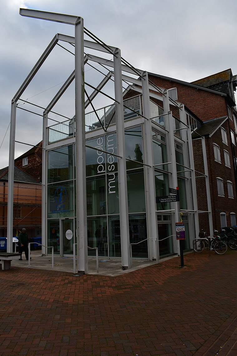 Poole Museum is a maritime museum, gallery and cultural centre, situated on the Lower High Street in the Old Town area of Poole, Dorset, and is owned by Bournemouth, Christchurch and Poole Council. Poole Museum is situated 1 mile southeast of Burngate Road.
Poole Guildhall
Government office
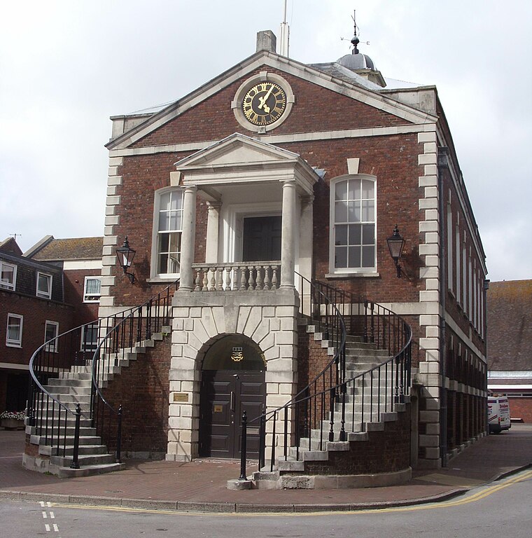
Photo: BarretBonden, Public domain.
Poole Guildhall is a municipal building in Market Street, Poole, Dorset, England. The guildhall, which is used as a register office and a venue for weddings and civil partnership ceremonies, is a Grade II* listed building. Poole Guildhall is situated 1 mile east of Burngate Road.
Places in the Area
Nearby places include Hamworthy and Turlin Moor.
Hamworthy
Suburb

Photo: Mike Faherty, CC BY-SA 2.0.
Hamworthy is a suburb of Poole, in the Bournemouth, Christchurch and Poole district, in the ceremonial county of Dorset, England. It is sited on a peninsula of approximately 3 square kilometres that is bordered by the town of Upton to the north, Poole Harbour to the south, Lytchett Bay to the west and Holes Bay to the east.
Turlin Moor
Suburb
Turlin Moor is a suburb of Poole in Dorset, England, located between Hamworthy and Upton. Turlin Moor is host to Hamworthy railway station. The two railway bridges at the end of the estate on Blandford Road form the meeting point between Hamworthy, Turlin Moor and Upton Park.
Poole

Photo: AlasdairW, CC BY-SA 3.0.
Poole is a coastal town and seaport in Dorset, on the south coast of England. Poole is a tourist resort, attracting visitors with its large natural harbour, history, the Lighthouse arts centre and Blue Flag beaches.
Burngate Road
- Type: Bus stop
- Category: transportation
- Location: Bournemouth, Christchurch and Poole, England, United Kingdom, Britain and Ireland, Europe
- View on OpenStreetMap
Latitude
50.71846° or 50° 43′ 6″ northLongitude
-2.00902° or 2° 0′ 33″ westOpen location code
9C2VPX9R+99OpenStreetMap ID
node 11694593034OpenStreetMap feature
highway=bus_stopOpenStreetMap feature
public_transport=platform
This page is based on OpenStreetMap, Wikidata, and Wikimedia Commons.
We’d love your help improving our open data sources. Thank you for contributing.
Satellite Map
Discover Burngate Road from above in high-definition satellite imagery.
Notable Places Nearby
Highlights include St Michael and St Michael’s Church Centre.
Nearby Places
Explore places such as The Rectory and Golden Scissors.
England: Must-Visit Destinations
Delve into London, Manchester, Sheffield, and Leeds.
Curious Bus Stops to Discover
Uncover intriguing bus stops from every corner of the globe.
About Mapcarta. Data © OpenStreetMap contributors and available under the Open Database License". Text is available under the CC BY-SA 4.0 license, except for photos, directions, and the map. Photo: sidibousaid, CC BY 2.0.