El retorno de Quetzalcóatl
El retorno de Quetzalcóatl is a work of art in Mexico City, Central Mexico. El retorno de Quetzalcóatl is situated nearby to the library Biblioteca Luis Unikel, as well as near the university Urbanismo.| Tap on a place to explore it |
Places of Interest Nearby
Highlights include Central Library and National School of Languages, Linguistics and Translation.
Central Library
Library
 Central Library of the National Autonomous University of Mexico is the main library in the Ciudad Universitaria Campus. It holds one of the largest collections in Mexico. Central Library is situated 450 metres west of El retorno de Quetzalcóatl.
National School of Languages, Linguistics and Translation
School
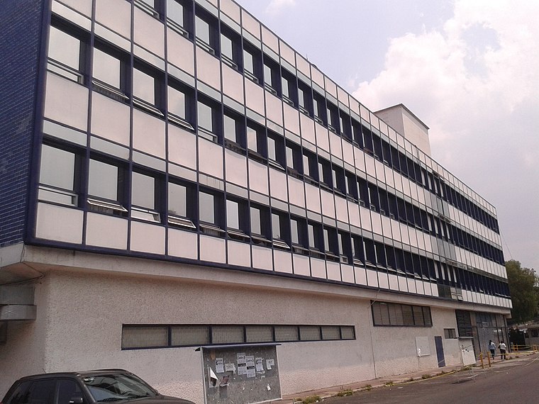
Photo: Jennifer York, CC BY-SA 4.0.
National School of Languages, Linguistics and Translation is situated 140 metres south of El retorno de Quetzalcóatl.
Pabellón de rayos cósmicos
University building

Photo: GAED, Public domain.
Pabellón de rayos cósmicos is an university building, which is situated 250 metres northeast of El retorno de Quetzalcóatl.
Places in the Area
Nearby places include Copilco and Ciudad Universitaria.
Copilco
Quarter
Copilco was an important Mesoamerican ceremonial center, southwest of Mexico City, Mexico. Copilco is located approximately four kilometers north of Cuicuilco.
Ciudad Universitaria
Village

Photo: Daniel Case, CC BY-SA 3.0.
Ciudad Universitaria is the main campus of the National Autonomous University of Mexico, located in Coyoacán borough in the southern part of Mexico City.

El retorno de Quetzalcóatl
- Type: Work of art
- Artwork type: mural
- Category: tourism
- Location: Mexico City, Central Mexico, Mexico, North America
- View on OpenStreetMap
Latitude
19.33257° or 19° 19′ 57″ northLongitude
-99.18309° or 99° 10′ 59″ westOpen location code
76F28RM8+2QOpenStreetMap ID
node 11831661544OpenStreetMap feature
tourism=artworkOpenStreetMap attribute
artwork_type=mural
This page is based on OpenStreetMap, Wikidata, and Wikimedia Commons.
We’d love your help improving our open data sources. Thank you for contributing.
Satellite Map
Discover El retorno de Quetzalcóatl from above in high-definition satellite imagery.
In Other Languages
“El retorno de Quetzalcóatl” goes by many names.
- French: “Le retour de Quetzalcoatl”
Notable Places Nearby
Highlights include Biblioteca Luis Unikel and Urbanismo.
Nearby Places
Explore places such as Cafetería Diseño Industrial and Entrada ACT.
Mexico City: Must-Visit Destinations
Delve into Centro, Xochimilco, Coyoacán, and Condesa and Roma.
Curious Work Of Arts to Discover
Uncover intriguing work of arts from every corner of the globe.
About Mapcarta. Data © OpenStreetMap contributors and available under the Open Database License". Text is available under the CC BY-SA 4.0 license, except for photos, directions, and the map. Photo: Wikimedia, CC BY 2.0.