Birdwood Road
Birdwood Road is a bus stop in Cambridge District, Cambridgeshire, England. Birdwood Road is situated nearby to Ridgefield Primary School, as well as near the school Coleridge Community College.| Tap on a place to explore it |
Places of Interest Nearby
Highlights include St Thomas’s Hall and Coleridge Community College.
St Thomas’s Hall
Church

Photo: Smb1001, CC BY-SA 4.0.
St Thomas’s Hall is a church, which is situated 640 feet southeast of Birdwood Road.
Coleridge Community College
School
Coleridge Community College is a secondary academy school with 750 places for children aged 11–16, situated on Radegund Road, Cambridge, Cambridgeshire, England. Coleridge Community College is situated 530 feet northwest of Birdwood Road.
Cambridge Central Mosque
Mosque

Photo: Cmglee, CC BY-SA 4.0.
The Cambridge Central Mosque is the first purpose-built mosque within the city of Cambridge, England. It opened to the public on 24 April 2019. The Mosque is a prominent Islamic centre located on Mill Road in the Romsey area of Cambridge. Cambridge Central Mosque is situated 1,700 feet north of Birdwood Road.
Places in the Area
Nearby places include Cherry Hinton and Highsett.
Cherry Hinton
Suburb
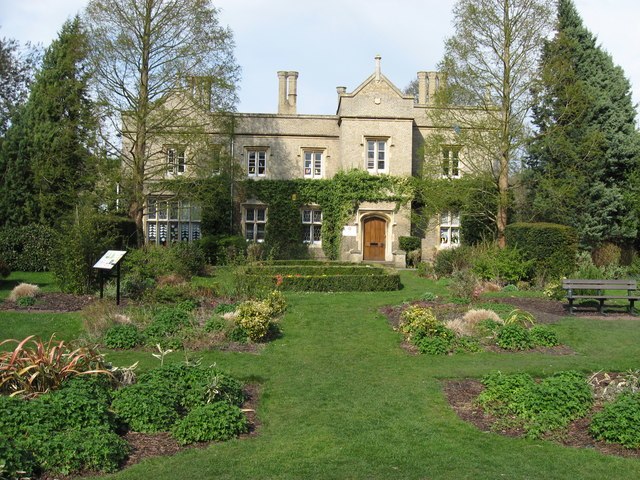
Photo: Pete Saunders, CC BY-SA 2.0.
Cherry Hinton is a village and electoral ward in Cambridge, England. As of the 2021 UK census, the ward's population was 9,343 people.
Highsett
Neighborhood

Photo: Dr Julian Paren, CC BY-SA 2.0.
Highsett is a residential estate and a listed heritage site in Cambridge, England. The estate was designed by Eric Lyons of Eric Lyons & Partners. It was built in three phases between 1959 and 1964.
Cambridge

Photo: Cmglee, CC BY-SA 3.0.
Cambridge is a university city in Cambridgeshire in England. It is a city of crocuses and daffodils on the Backs, of green open spaces and cattle grazing only 500 yards from the market square.
Birdwood Road
- Type: Bus stop
- Category: transportation
- Location: Cambridge District, Cambridgeshire, England, United Kingdom, Britain and Ireland, Europe
- View on OpenStreetMap
Latitude
52.19287° or 52° 11′ 34″ northLongitude
0.15468° or 0° 9′ 17″ eastOpen location code
9F4255V3+4VOpenStreetMap ID
node 11833264443OpenStreetMap feature
highway=bus_stop
This page is based on OpenStreetMap, Wikidata, and Wikimedia Commons.
We’d love your help improving our open data sources. Thank you for contributing.
Satellite Map
Discover Birdwood Road from above in high-definition satellite imagery.
Places with the Same Name
Discover other places named “Birdwood Road”.
Notable Places Nearby
Highlights include Ridgefield Primary School and Cambridge Districts Scout Headquarters.
Nearby Places
Explore places such as Birdwood Road and Carolina Guest House.
England: Must-Visit Destinations
Delve into London, Manchester, Sheffield, and Leeds.
Curious Bus Stops to Discover
Uncover intriguing bus stops from every corner of the globe.
About Mapcarta. Data © OpenStreetMap contributors and available under the Open Database License". Text is available under the CC BY-SA 4.0 license, except for photos, directions, and the map. Photo: sidibousaid, CC BY 2.0.