St Mary’s Abbey
St Mary’s Abbey is an archaeological site in Cirencester, Cotswold District, England. St Mary’s Abbey is situated nearby to Cirencester Parish Cemetery, as well as near the apartment building Abbey House.| Tap on a place to explore it |
Places of Interest Nearby
Highlights include Church of St John the Baptist and Corinium Museum.
Church of St John the Baptist
Church

Photo: Traveler100, CC BY-SA 3.0.
The Church of St. John Baptist, Cirencester is a parish church in the Church of England in Cirencester, Gloucestershire, England. It is a Grade I listed building. Church of St John the Baptist is situated 370 feet southwest of St Mary’s Abbey.
Corinium Museum
Museum

Photo: Paul Shreeve, CC BY-SA 2.0.
The Corinium Museum, in the Cotswold town of Cirencester in England, has a large collection of objects found in and around the locality. The bulk of the exhibits are from the Roman town of Corinium Dobunnorum, but the museum includes material from across the Cotswold District as early as the Neolithic and all the way up to Victorian times. Corinium Museum is situated 920 feet west of St Mary’s Abbey.
New Brewery Arts
Shopping center

Photo: Steve Daniels, CC BY-SA 2.0.
New Brewery Arts is a shopping center, which is situated 790 feet southwest of St Mary’s Abbey.
Places in the Area
Nearby places include Stratton and Kemble.
Stratton
Village

Photo: Dave Bushell, CC BY-SA 2.0.
Stratton is a village, ward and former civil parish about 22 miles from Gloucester, now in the parish of Cirencester, in the Cotswold district, in the county of Gloucestershire, England.
Kemble
Village

Photo: Arpingstone, Public domain.
Cirencester is a picturesque market town in the Cotswolds, in the county of Gloucestershire. It's an ancient market town with traditional Cotswold buildings and thriving shopping centre. Kemble is situated 4 miles southwest of St Mary’s Abbey.
Woodmancote
Village
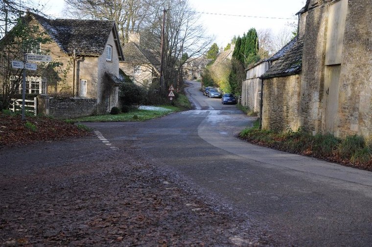
Photo: Philip Halling, CC BY-SA 2.0.
Woodmancote is a Cotswolds village near Cirencester, Gloucestershire, England. The village lies just off the A435. The village is 0.2 square miles in area. Woodmancote is situated 4½ miles north of St Mary’s Abbey.
St Mary’s Abbey
- Type: Archaeological site
- Categories: historic site, tourist attraction, and tourism
- Location: Cirencester, Cotswold District, Gloucestershire, West Country, England, United Kingdom, Britain and Ireland, Europe
- View on OpenStreetMap
Latitude
51.71823° or 51° 43′ 6″ northLongitude
-1.96675° or 1° 58′ 0″ westOpen location code
9C3WP29M+78OpenStreetMap ID
node 11851268909OpenStreetMap feature
historic=archaeological_site
This page is based on OpenStreetMap, Wikidata, and Wikimedia Commons.
We’d love your help improving our open data sources. Thank you for contributing.
Satellite Map
Discover St Mary’s Abbey from above in high-definition satellite imagery.
Places with the Same Name
Discover other places named “St Mary’s Abbey”.
Notable Places Nearby
Highlights include Cirencester Parish Cemetery and Abbey House.
Nearby Places
Explore places such as Medieval Cirencester - Augustian Abbey of St Mary and St Mary’s Abbey.
Gloucestershire: Must-Visit Destinations
Delve into Gloucester, Cheltenham, Yate, and Stroud.
Curious Archaeological Sites to Discover
Uncover intriguing archaeological sites from every corner of the globe.
About Mapcarta. Data © OpenStreetMap contributors and available under the Open Database License". Text is available under the CC BY-SA 4.0 license, except for photos, directions, and the map. Photo: slrjester, CC BY 2.0.