ADO GL Platino
ADO GL Platino is a bus stop in Puebla, Puebla. ADO GL Platino is situated nearby to the bus station Terminal CAPU, as well as near Central de Autobuses Puebla (CAPU).| Tap on a place to explore it |
Places of Interest Nearby
Highlights include Estadio Olímpico Ignacio Zaragoza and Puebla Cathedral.
Estadio Olímpico Ignacio Zaragoza
Stadium

Photo: CUTI1, CC BY-SA 3.0.
Estadio Olímpico Ignacio Zaragoza is an Olympic stadium where professional football and baseball have been played. It is located in Puebla, Puebla, Mexico east of Mexico City). Estadio Olímpico Ignacio Zaragoza is situated 3 km southeast of ADO GL Platino.
Puebla Cathedral
Church

Photo: Wikimedia, CC BY-SA 3.0.
The Basilica Cathedral of Puebla, as the Cathedral of Our Lady of the Immaculate Conception is known according to its Marian invocation, is the episcopal see of the Archdiocese of Puebla de los Ángeles. Puebla Cathedral is situated 3½ km south of ADO GL Platino.
Building of the Congress of Puebla
Government office
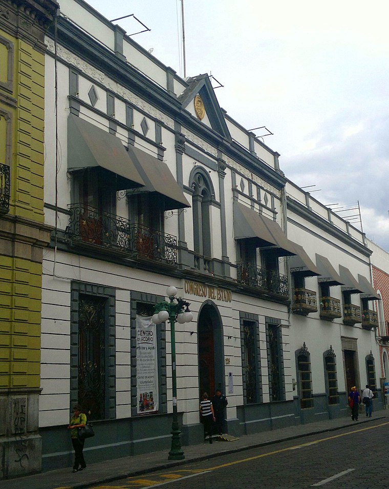
Photo: Victhor, CC BY-SA 3.0.
Building of the Congress of Puebla is a government office, which is situated 3½ km south of ADO GL Platino.
Places in the Area
Nearby places include Historic centre of Puebla and El Alto.
Historic centre of Puebla
Quarter

Photo: Zeisseon, CC BY-SA 4.0.
The historic centre of Puebla was declared a World Heritage Site by UNESCO in 1987. The Historic Monuments Zone of Puebla is considered the origin of Puebla. Historic centre of Puebla is situated 3 km south of ADO GL Platino.
El Alto
Neighborhood

Photo: Gusvel, CC BY-SA 4.0.
El Alto is a neighborhood, which is situated 3½ km southeast of ADO GL Platino.
San Pablo del Monte
Town

Photo: Isaacvp, CC BY-SA 4.0.
San Pablo del Monte is a city in the municipality of the same name and the largest city in the south of the Mexican state of Tlaxcala, It is located at the southernmost point in the state, near the border with the adjoining state of Puebla. San Pablo del Monte is situated 6 km northeast of ADO GL Platino.
ADO GL Platino
- Type: Bus stop
- Category: transportation
- Location: Puebla, Puebla, Central Mexico, Mexico, North America
- View on OpenStreetMap
Latitude
19.07435° or 19° 4′ 28″ northLongitude
-98.2048° or 98° 12′ 17″ westOpen location code
76F33QFW+P3OpenStreetMap ID
node 11883980999OpenStreetMap feature
highway=bus_stopOpenStreetMap feature
public_transport=platform
This page is based on OpenStreetMap, Wikidata, and Wikimedia Commons.
We’d love your help improving our open data sources. Thank you for contributing.
Satellite Map
Discover ADO GL Platino from above in high-definition satellite imagery.
Places with the Same Name
Discover other places named “ADO GL Platino”.
Notable Places Nearby
Highlights include Terminal CAPU and Central de Autobuses Puebla (CAPU).
Nearby Places
Explore places such as Telcel and Los Tres Mostaqueros.
Puebla: Must-Visit Destinations
Delve into Tehuacán, Cholula, Chipilo, and Atlixco.
Curious Bus Stops to Discover
Uncover intriguing bus stops from every corner of the globe.
About Mapcarta. Data © OpenStreetMap contributors and available under the Open Database License". Text is available under the CC BY-SA 4.0 license, except for photos, directions, and the map. Photo: TLAPAYITA, CC BY-SA 3.0.