Posta di Caccia
Posta di Caccia is a cave in Soverzene, Belluno, Veneto and has an elevation of 1,400 metres. Posta di Caccia is situated nearby to the cave Il Buson, as well as near the peak Col dei Tiziani.| Tap on a place to explore it |
Places of Interest Nearby
Highlights include Monte Dolada and Soverzene hydroelectric power station.

Soverzene hydroelectric power station
Power station
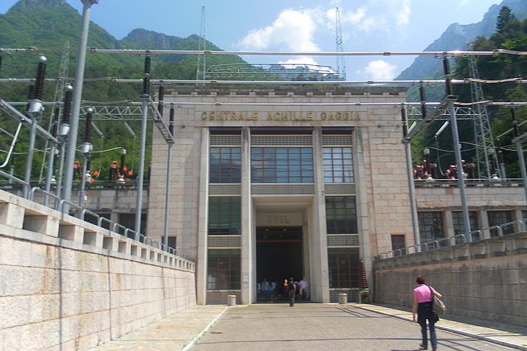
Photo: Andre86, Public domain.
Soverzene hydroelectric power station is situated 2 km northwest of Posta di Caccia.
Lago di Val Gallina
Reservoir

Photo: Fflavio74, CC BY-SA 3.0.
Lago di Val Gallina is a reservoir, which is situated 3 km north of Posta di Caccia.
Places in the Area
Nearby places include Pieve d’Alpago and Ponte nelle Alpi.
Pieve d’Alpago
Village

Photo: AndreaFullinSalamon, CC BY-SA 4.0.
Alpago is a comune in the Province of Belluno in the Italian region of Veneto. It is located about 80 kilometres north of Venice and about 12 kilometres east of Belluno. Lago di Santa Croce is located near Alpago. Pieve d’Alpago is situated 3½ km southeast of Posta di Caccia.
Ponte nelle Alpi
Village

Photo: Wurth, CC BY-SA 4.0.
Ponte nelle Alpi is a comune in the Province of Belluno in the Italian region Veneto, located about 80 kilometres north of Venice and about 8 kilometres northeast of Belluno. Ponte nelle Alpi is situated 3½ km west of Posta di Caccia.
Puos d’Alpago
Village

Photo: Marchetto da Trieste, CC BY-SA 4.0.
Alpago is a comune in the Province of Belluno in the Italian region of Veneto. It is located about 80 kilometres north of Venice and about 12 kilometres east of Belluno. Lago di Santa Croce is located near Alpago. Puos d’Alpago is situated 6 km southeast of Posta di Caccia.
Posta di Caccia
- Type: Cave
- Category: landform
- Location: Soverzene, Belluno, Veneto, Northeast Italy, Italy, Europe
- View on OpenStreetMap
Latitude
46.19154° or 46° 11′ 30″ northLongitude
12.32799° or 12° 19′ 41″ eastElevation
1,400 metres (4,593 feet)Open location code
8FRJ58RH+J5OpenStreetMap ID
node 11891821049OpenStreetMap feature
natural=cave_entrance
This page is based on OpenStreetMap, Wikidata, and Wikimedia Commons.
We’d love your help improving our open data sources. Thank you for contributing.
Satellite Map
Discover Posta di Caccia from above in high-definition satellite imagery.
Notable Places Nearby
Highlights include Il Buson and Col dei Tiziani.
Nearby Places
Explore places such as Bivio Lama and Bivacco Scalon.
Belluno: Must-Visit Destinations
Delve into Cortina d’Ampezzo, Belluno, and Feltre.
Curious Caves to Discover
Uncover intriguing caves from every corner of the globe.
About Mapcarta. Data © OpenStreetMap contributors and available under the Open Database License". Text is available under the CC BY-SA 4.0 license, except for photos, directions, and the map. Photo: Lunardo, CC0.