Christine’s Tea Room
Christine’s Tea Room is a café in Salford, England. Christine’s Tea Room is situated nearby to Irlam Library, as well as near Irlam FC.| Tap on a place to explore it |
Places of Interest Nearby
Highlights include Wellacre Academy and Irlam Viaduct.
Wellacre Academy
School
Wellacre Academy is an 11–16 boys, secondary school with academy status in Flixton, Greater Manchester, England. It was formerly a foundation school that was established in 1955 and adopted its present name after becoming an academy in 2011. Wellacre Academy is situated 4,100 feet southeast of Christine’s Tea Room.
Irlam Viaduct
Bridge

Photo: Craig Sunter, CC BY 2.0.
Irlam Viaduct is a bridge, which is situated 1 mile south of Christine’s Tea Room.
Carrington Power Station
Power station
Carrington Power Station is a combined cycle gas turbine power station, which was completed in Autumn 2016 and began commercial operation on 18 September 2016. Carrington Power Station is situated 1 mile south of Christine’s Tea Room.
Places in the Area
Nearby places include Irlam and Cadishead.
Irlam
Town

Photo: Keith Williamson, CC BY-SA 2.0.
Irlam is a suburb in the City of Salford, Greater Manchester, England. In 2011, it had a population of 19,933. It lies on flat ground on the south side of the M62 motorway and the north bank of the Manchester Ship Canal, 6.7 miles southwest of Salford, 7.6 miles southwest of Manchester and 8.3 miles northeast of Warrington.
Cadishead
Village

Photo: Dealtdark, Public domain.
Cadishead is a village in the City of Salford in Greater Manchester, England, with a population of 10,739 in 2014. Within the historic county of Lancashire. Cadishead is situated 2 miles southwest of Christine’s Tea Room.
Urmston
Town
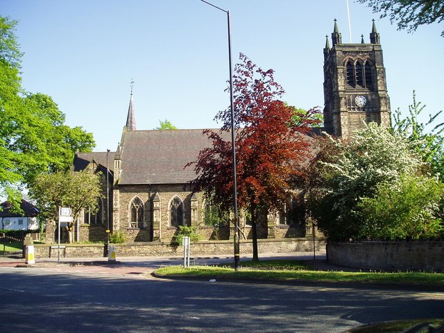
Photo: R Greenhalgh, CC BY-SA 2.0.
Urmston is a town in Trafford, Greater Manchester, England, which had a population of 41,731 at the 2021 Census. Historically in Lancashire, it is 5 miles southwest of Manchester city centre. Urmston is situated 2½ miles east of Christine’s Tea Room.
Christine’s Tea Room
- Type: Café
- Location: Salford, England, United Kingdom, Britain and Ireland, Europe
- View on OpenStreetMap
Latitude
53.45253° or 53° 27′ 9″ northLongitude
-2.41089° or 2° 24′ 39″ westOpen location code
9C5VFH3Q+2JOpenStreetMap ID
node 11896511972OpenStreetMap feature
amenity=cafe
This page is based on OpenStreetMap, Wikidata, and Wikimedia Commons.
We’d love your help improving our open data sources. Thank you for contributing.
Satellite Map
Discover Christine’s Tea Room from above in high-definition satellite imagery.
Notable Places Nearby
Highlights include Irlam Library and Irlam FC.
Nearby Places
Explore places such as Golden Crown and Cakes by P.
England: Must-Visit Destinations
Delve into London, Manchester, Sheffield, and Leeds.
Curious Cafés to Discover
Uncover intriguing cafés from every corner of the globe.
About Mapcarta. Data © OpenStreetMap contributors and available under the Open Database License". Text is available under the CC BY-SA 4.0 license, except for photos, directions, and the map. Photo: Craig Sunter, CC BY 2.0.