Petrolina
Petrolina is a gas station in Quebec, Canada. Petrolina is situated nearby to the mosque Masjid Al Itissam, as well as near the community center l’Aviron Hébergement Communautaire.| Tap on a place to explore it |
Places of Interest Nearby
Highlights include Parc Saint-Claude and De La Concorde station.

De La Concorde station
Railway station

Photo: Ed7789, CC BY-SA 4.0.
De la Concorde station is an intermodal transit station in Laval, Quebec, Canada. It serves the Montreal Metro's Orange Line and connects to Exo's Saint-Jérôme commuter rail line. De La Concorde station is situated 2 km southwest of Petrolina.
Parc Rosaire-Gauthier
Park
 Parc Rosaire-Gauthier is a park, which is situated 2 km southeast of Petrolina.
Places in the Area
Nearby places include Laval and Sault-au-Récollet.
Laval
 The city of Laval, conglomerated from 14 smaller municipalities in 2000, covers the island Île Jésus and some smaller islands to the northwest of Montreal.
Sault-au-Récollet
Neighborhood
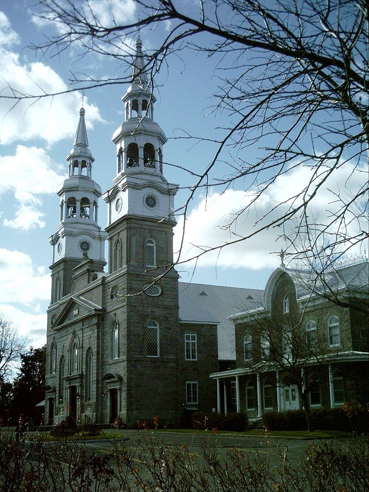
Photo: Wikimedia, CC BY-SA 3.0.
Sault-au-Récollet is a neighbourhood in Montreal. It is located in the eastern edge of the borough of Ahuntsic-Cartierville, bordering the Rivière des Prairies. Sault-au-Récollet is situated 3 km east of Petrolina.
Montreal

Photo: Wikimedia, CC BY-SA 3.0.
Montreal is the largest city in the Canadian province of Quebec. While Quebec City is the political capital, Montreal is the cultural and economic centre, and the main entry point to the province.
Petrolina
- Type: Gas station
- Category: transportation
- Location: Quebec, Canada, North America
- View on OpenStreetMap
Latitude
45.57349° or 45° 34′ 25″ northLongitude
-73.69531° or 73° 41′ 43″ westOpen location code
87Q8H8F3+9VOpenStreetMap ID
node 11896656844OpenStreetMap feature
amenity=fuel
This page is based on OpenStreetMap, Wikidata, and Wikimedia Commons.
We’d love your help improving our open data sources. Thank you for contributing.
Satellite Map
Discover Petrolina from above in high-definition satellite imagery.
Places with the Same Name
Discover other places named “Petrolina”.
Notable Places Nearby
Highlights include Masjid Al Itissam and l’Aviron Hébergement Communautaire.
Nearby Places
Explore places such as Viet Dong and Lajeunesse Moto Sport.
Quebec: Must-Visit Destinations
Delve into Montreal, Gaspé, Quebec City, and Percé.
Curious Gas Stations to Discover
Uncover intriguing gas stations from every corner of the globe.
About Mapcarta. Data © OpenStreetMap contributors and available under the Open Database License". Text is available under the CC BY-SA 4.0 license, except for photos, directions, and the map. Photo: Taxiarchos228, CC BY-SA 3.0.