St. Kentigern Flint Charity Shop
St. Kentigern Flint Charity Shop is a charity shop in Flint, Wales which is located on Heol-yr-Eglwys / Church Street. St. Kentigern Flint Charity Shop is situated nearby to the government office Foster Wales Flintshire, as well as near Flint Post Office.| Tap on a place to explore it |
Places of Interest Nearby
Highlights include Flint Library and Flint railway station.

Flint railway station
Railway station

Photo: Ted Ted, CC BY-SA 2.5.
Flint railway station serves the town of Flint in Flintshire, North Wales. It is located on the North Wales Coast Line and is managed by Transport for Wales, which provides most of the passenger trains that call here; some Avanti West Coast services also serve the station. Flint railway station is situated 900 feet northeast of St. Kentigern Flint Charity Shop.
Flint Town Hall
Public building

Photo: BigDom, CC BY-SA 4.0.
Flint Town Hall is a municipal structure in the Market Square, Flint, Flintshire, Wales. The town hall, which is the meeting place of Flint Town Council, is a Grade II listed building. Flint Town Hall is situated 770 feet northeast of St. Kentigern Flint Charity Shop.
Places in the Area
Nearby places include Oakenholt and Bagillt.
Oakenholt
Hamlet

Photo: Eirian Evans, CC BY-SA 2.0.
Oakenholt is a village in Flintshire, Wales. It is situated to the south east of the town of Flint, near the A548 road. At the 2001 Census, the population of the Flint Oakenholt Ward was 2920. Oakenholt is situated 1½ miles southeast of St. Kentigern Flint Charity Shop.
Bagillt
Town

Photo: Natalia A McKenzie, CC BY-SA 2.0.
Bagillt is a village and community in Flintshire, Wales. The village overlooks the Dee Estuary and is between the towns of Holywell and Flint. At the 2001 Census the population was recorded as 3,918, increasing to 4,165 at the 2011 census. Bagillt is situated 1½ miles northwest of St. Kentigern Flint Charity Shop.
Flint Mountain
Village
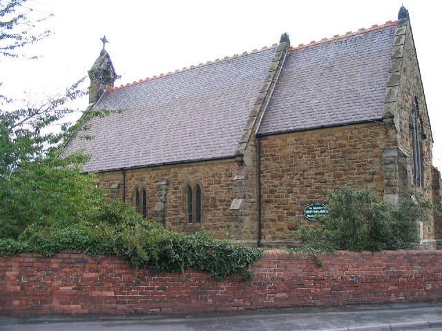
Photo: Peter Craine, CC BY-SA 2.0.
Flint Mountain is a small village seated in Flintshire, North Wales, approximately 12 miles west of the city of Chester, midway between Mold and Flint, and situated just off junction 33 of the A55 North Wales Expressway. Flint Mountain is situated 1½ miles south of St. Kentigern Flint Charity Shop.
St. Kentigern Flint Charity Shop
- Type: Charity shop
- Address: 49 Heol-yr-Eglwys / Church Street, Flint, CH6 5AD
- Category: shop
- Location: Flint, Flintshire, Wales, United Kingdom, Britain and Ireland, Europe
- View on OpenStreetMap
Latitude
53.24841° or 53° 14′ 54″ northLongitude
-3.13602° or 3° 8′ 10″ westOpen location code
9C5R6VX7+9HOpenStreetMap ID
node 11958391142OpenStreetMap feature
shop=charity
This page is based on OpenStreetMap, Wikidata, and Wikimedia Commons.
We’d love your help improving our open data sources. Thank you for contributing.
Satellite Map
Discover St. Kentigern Flint Charity Shop from above in high-definition satellite imagery.
Notable Places Nearby
Highlights include Foster Wales Flintshire and Flint Post Office.
Nearby Places
Explore places such as Sandwiched and Church Street News.
Wales: Must-Visit Destinations
Delve into Cardiff, Swansea, Newport, and Llanfairpwllgwyngyll.
Curious Charity Shops to Discover
Uncover intriguing charity shops from every corner of the globe.
About Mapcarta. Data © OpenStreetMap contributors and available under the Open Database License". Text is available under the CC BY-SA 4.0 license, except for photos, directions, and the map. Photo: Wikimedia, CC0.