Leadgate Pharmacy
Leadgate Pharmacy is a pharmacy in County Durham, North East England, England which is located on Watling Street. Leadgate Pharmacy is situated nearby to the theater building The Roxy, as well as near the community center Eden Miners Centre.| Tap on a place to explore it |
Places of Interest Nearby
Highlights include Blackhill and Consett Park and Derwentside College.
Blackhill and Consett Park
Park
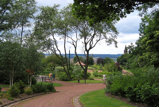
Photo: Dennis Lovett, CC BY-SA 2.0.
Blackhill and Consett Park is a park in Consett, County Durham, England. The park along with Benfieldside Cemetery and a number of buildings comprise the Blackhill conservation area. Blackhill and Consett Park is situated 1¼ miles west of Leadgate Pharmacy.
Derwentside College
College
Derwentside College is a further education college based in Consett, County Durham, England. It is the major provider of vocational post-16 education and training in the former district of Derwentside. Derwentside College is situated 1½ miles southwest of Leadgate Pharmacy.
Consett bus station
Bus station
Consett is a town in the County Durham district, in the ceremonial county of Durham, England, about 14 miles south-west of Newcastle upon Tyne. It had a population of 27,394 in 2001 and an estimate of 25,812 in 2019. Consett bus station is situated 1¼ miles southwest of Leadgate Pharmacy.
Places in the Area
Nearby places include Leadgate and Crookhall.
Leadgate
Village
 Leadgate is a village in County Durham, in England. It is situated to the north-east of Consett. The Roman road Dere Street runs straight through the middle of Leadgate, today this is known as Durham Road and the B6309.
Crookhall
Village
Crookhall is a village in County Durham, in England. It is situated between Consett and Delves Lane. It is named after, and intimately connected to, Crook Hall which once stood nearby.
Stony Heap
Locality
Stony Heap is a hamlet in County Durham, in England. It is situated between Leadgate and Annfield Plain. There used to be 6 houses and 2 farms plus the pit, now there is 1 house and 1 farm.
Leadgate Pharmacy
- Type: Pharmacy
- Address: Watling Street, Consett, DH8 6DP
- Category: health care
- Location: County Durham, North East England, England, United Kingdom, Britain and Ireland, Europe
- View on OpenStreetMap
Latitude
54.86007° or 54° 51′ 36″ northLongitude
-1.80524° or 1° 48′ 19″ westOpen location code
9C6WV56V+2WOpenStreetMap ID
node 11966173624OpenStreetMap feature
amenity=pharmacy
This page is based on OpenStreetMap, Wikidata, and Wikimedia Commons.
We’d love your help improving our open data sources. Thank you for contributing.
Satellite Map
Discover Leadgate Pharmacy from above in high-definition satellite imagery.
Notable Places Nearby
Highlights include The Roxy and Eden Miners Centre.
Nearby Places
Explore places such as Leadgate Surgery and The Roxy Shop.
County Durham: Must-Visit Destinations
Delve into Durham, Darlington, Hartlepool, and Stockton-on-Tees.
Curious Pharmacies to Discover
Uncover intriguing pharmacies from every corner of the globe.
About Mapcarta. Data © OpenStreetMap contributors and available under the Open Database License". Text is available under the CC BY-SA 4.0 license, except for photos, directions, and the map. Photo: Roberto Strauss, CC BY 2.0.