Dry Falls
Dry Falls is a waterfall in Riverside County, Southern California, California.| Tap on a place to explore it |
Places of Interest Nearby
Highlights include Frey House II and Palm Springs Art Museum.
Frey House II
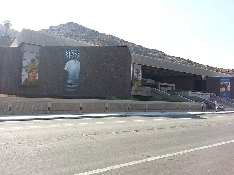
Museum

Photo: Visitor7, CC BY-SA 3.0.
Frey House II is a museum, which is situated 1¼ miles southeast of Dry Falls.
Palm Springs Art Museum
Museum
 The Palm Springs Art Museum is a visual and performing arts institution with several locations in the Coachella Valley, in Riverside County, California, United States, founded in 1938. Palm Springs Art Museum is situated 1¼ miles east of Dry Falls.
Kaufmann Desert House
Historic house

Photo: Pmeulbroek, CC BY-SA 4.0.
The Kaufmann Desert House, or simply the Kaufmann House, is a house in Palm Springs, California, that was designed by architect Richard Neutra in 1946. Kaufmann Desert House is situated 1½ miles northeast of Dry Falls.
Places in the Area
Nearby places include Palm Springs.
Palm Springs

Photo: Pocketthis, CC BY-SA 4.0.
Palm Springs is a resort city in the California desert. It became a destination during the 1950s and 1960s when Hollywood movie stars flocked there in droves.
Dry Falls
- Type: Waterfall
- Category: body of water
- Location: Riverside County, Southern California, California, United States, North America
- View on OpenStreetMap
Latitude
33.82958° or 33° 49′ 47″ northLongitude
-116.57139° or 116° 34′ 17″ westOpen location code
8555RCHH+RCOpenStreetMap ID
node 11968193570OpenStreetMap feature
waterway=waterfall
This page is based on OpenStreetMap, Wikidata, and Wikimedia Commons.
We’d love your help improving our open data sources. Thank you for contributing.
Satellite Map
Discover Dry Falls from above in high-definition satellite imagery.
Places with the Same Name
Discover other places named “Dry Falls”.
Notable Places Nearby
Highlights include Welwood Murray Cemetery and Inspiration Point.
Nearby Places
Explore places such as House of Tomorrow and Committee of Twenty-Five Club.
Riverside County: Must-Visit Destinations
Delve into Riverside, Palm Springs, Corona, and Moreno Valley.
Curious Waterfalls to Discover
Uncover intriguing waterfalls from every corner of the globe.
About Mapcarta. Data © OpenStreetMap contributors and available under the Open Database License". Text is available under the CC BY-SA 4.0 license, except for photos, directions, and the map. Photo: Wikimedia, CC0.