Pacific Ridge
Pacific Ridge is a neighborhood in Orange County, Southern California, California. Pacific Ridge is situated nearby to the neighborhood Los Trancos, as well as near Ziani.| Tap on a place to explore it |
Places of Interest
Highlights include Signal Peak and Sage Hill School.
Signal Peak
Peak
Signal Peak is the highest point in the San Joaquin Hills area of Orange County, California, United States. Its elevation is 1,168 ft. The peak is visible over the southern horizon from most of northern Orange County, and from far-southern Los Angeles County.
Sage Hill School
School
Sage Hill School is an independent, co-educational college preparatory day school for students in grades 7-12, located in Newport Coast, California. The school first opened in September 2000 with a freshman and sophomore class of 120 students. Sage Hill School is situated 1½ miles northwest of Pacific Ridge.
Vista Verde School
School

Photo: David Eppstein, CC BY-SA 2.5.
Vista Verde School is a year-round, K-8 school located in the Turtle Ridge neighborhood of Irvine, California, United States. Vista Verde belongs to the Irvine Unified School District but is not a neighborhood school; rather, it is open to all Irvine residents with a preference for Turtle Ridge residents, and is one of four year-round schools in the Irvine district. Vista Verde School is situated 2½ miles northwest of Pacific Ridge.
Places in the Area
Nearby places include Newport Coast and San Joaquin Hills.
Newport Coast
Quarter

Photo: Jonnyboyca, Public domain.
Newport Coast is a community south of the main body of the city of Newport Beach, California. It was a separate census-designated place in Orange County, California, United States, until 2001, when it was annexed into Newport Beach.
San Joaquin Hills
Hamlet

Photo: David Eppstein, CC BY-SA 2.5.
San Joaquin Hills is a neighborhood in Newport Beach, Orange County, California As of the 2000 census, the population was 2,959. San Joaquin Hills was annexed into Newport Beach on January 1, 2002. San Joaquin Hills is situated 2 miles northwest of Pacific Ridge.
Turtle Rock
Suburb
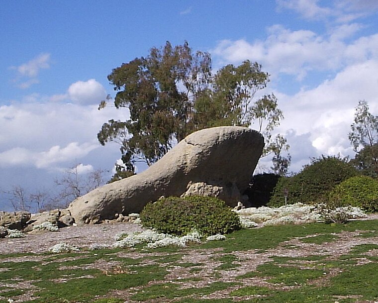
Photo: Jerry picker, CC BY-SA 3.0.
Turtle Rock is a neighborhood in the south part of Irvine, Orange County, California, near Concordia University, Irvine and the University of California, Irvine. Turtle Rock is situated 2½ miles north of Pacific Ridge.
Pacific Ridge
- Type: Neighborhood
- Category: locality
- Location: Orange County, Southern California, California, United States, North America
- View on OpenStreetMap
Latitude
33.60072° or 33° 36′ 3″ northLongitude
-117.80748° or 117° 48′ 27″ westOpen location code
8554J52V+72OpenStreetMap ID
node 11973715863OpenStreetMap feature
place=neighbourhood
This page is based on OpenStreetMap, Wikidata, and Wikimedia Commons.
We’d love your help improving our open data sources. Thank you for contributing.
Satellite Map
Discover Pacific Ridge from above in high-definition satellite imagery.
Places with the Same Name
Discover other places named “Pacific Ridge”.
Localities in the Area
Explore places such as Los Trancos and Ziani.
Notable Places Nearby
Highlights include Coastal Peak Park and Club Pilates.
Orange County: Must-Visit Destinations
Delve into Disneyland, Anaheim, Santa Ana, and Irvine.
Curious Neighborhoods to Discover
Uncover intriguing neighborhoods from every corner of the globe.
About Mapcarta. Data © OpenStreetMap contributors and available under the Open Database License". Text is available under the CC BY-SA 4.0 license, except for photos, directions, and the map. Photo: Traveler100, CC BY-SA 3.0.