Monte Belledonne
Monte Belledonne is a peak in Magione, Province of Perugia, Umbria and has an elevation of 417 metres. Monte Belledonne is situated nearby to the village Agello, as well as near the hamlet Valle Lupina.| Tap on a place to explore it |
Places in the Area
Nearby places include Agello and Mugnano.

Solomeo
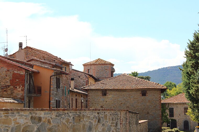
Village

Photo: Cantalamessa, CC BY-SA 3.0.
Solomeo is a frazione of the comune of Corciano in the Province of Perugia, Umbria, central Italy. It stands at an elevation of 273 metres above sea level.
Monte Belledonne
- Type: Peak with an elevation of 417 metres
- Category: landform
- Location: Magione, Province of Perugia, Umbria, Central Italy, Italy, Europe
- View on OpenStreetMap
Latitude
43.075° or 43° 4′ 30″ northLongitude
12.2347° or 12° 14′ 5″ eastElevation
417 metres (1,368 feet)Open location code
8FMJ36GM+2VOpenStreetMap ID
node 12040265304OpenStreetMap feature
natural=peak
This page is based on OpenStreetMap, Wikidata, and Wikimedia Commons.
We’d love your help improving our open data sources. Thank you for contributing.
Satellite Map
Discover Monte Belledonne from above in high-definition satellite imagery.
Localities in the Area
Explore places such as Valle Lupina and Vignaia.
Notable Places Nearby
Highlights include Chiesa San donato and Chiesa della Madonna del Rosario.
Umbria: Must-Visit Destinations
Delve into Perugia, Terni, Assisi, and Orvieto.
Curious Peaks to Discover
Uncover intriguing peaks from every corner of the globe.
About Mapcarta. Data © OpenStreetMap contributors and available under the Open Database License". Text is available under the CC BY-SA 4.0 license, except for photos, directions, and the map. Photo: Inkey, CC BY 3.0.