Krauser’s
Krauser’s is a convenience store in Borough of Ho-Ho-Kus, Bergen County, New Jersey. Krauser’s is situated nearby to the park The Green, as well as near Memorial Park.| Tap on a place to explore it |
Places of Interest Nearby
Highlights include Ho-Ho-Kus Inn and Ho-Ho-Kus station.
Ho-Ho-Kus Inn
Restaurant

Photo: NHRHS2010, Public domain.
Ho-Ho-Kus Inn is a historic landmark that is currently a restaurant located in Ho-Ho-Kus, New Jersey, United States, at the intersection of Franklin Turnpike, Maple Avenue, and Sheridan Avenue.
Ho-Ho-Kus station
Railway stop

Photo: Daniel Case, CC BY-SA 3.0.
Ho-Ho-Kus is a NJ Transit station served by the Bergen County Line and Main Line. The station is located in Ho-Ho-Kus, New Jersey, at Brookside Avenue and 1st Street, across the bridge on Warren Avenue from Franklin Turnpike. Ho-Ho-Kus station is situated 1,300 feet west of Krauser’s.
The Hermitage
Museum
 The Hermitage, located in Ho-Ho-Kus, Bergen County, in the U.S. state of New Jersey, is a fourteen-room Gothic Revival house museum built in 1847–48 from designs by William H. The Hermitage is situated 1 mile northwest of Krauser’s.
Places in the Area
Nearby places include Waldwick and Ridgewood.
Waldwick
Town

Photo: Adam Moss, CC BY-SA 2.0.
Waldwick is a borough in Bergen County, in the U.S. state of New Jersey. As of the 2020 United States census, the borough's population was 10,058, an increase of 433 from the 2010 census count of 9,625, which in turn reflected an increase of three people from the 9,622 counted in the 2000 census.
Ridgewood
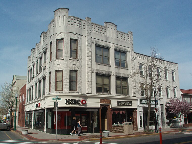
Photo: Alexisrael, CC BY-SA 3.0.
Ridgewood is a village of 25,000 people in New Jersey. It is a suburban bedroom community of New York City, about 20 miles northwest of Midtown Manhattan. This article also covers the adjacent community of Ho-Ho-Kus.
Wortendyke
Hamlet

Photo: Adam Moss, CC BY-SA 2.0.
Wortendyke is a residential and commercial unincorporated community located within Midland Park, in Bergen County, in the U.S. state of New Jersey. Wortendyke is situated 2 miles west of Krauser’s.
Krauser’s
- Type: Convenience store
- Categories: shop and food
- Location: Borough of Ho-Ho-Kus, Bergen County, Gateway, New Jersey, Mid-Atlantic, United States, North America
- View on OpenStreetMap
Latitude
40.99725° or 40° 59′ 50″ northLongitude
-74.10895° or 74° 6′ 32″ westOpen location code
87G7XVWR+WCOpenStreetMap ID
node 1206254989OpenStreetMap feature
shop=convenience
This page is based on OpenStreetMap, Wikidata, and Wikimedia Commons.
We’d love your help improving our open data sources. Thank you for contributing.
Satellite Map
Discover Krauser’s from above in high-definition satellite imagery.
Places with the Same Name
Discover other places named “Krauser’s”.
Notable Places Nearby
Highlights include The Green and Memorial Park.
Nearby Places
Explore places such as Cafe Amici and BB Clover.
Bergen County: Must-Visit Destinations
Delve into Hackensack, East Rutherford, Fort Lee, and Englewood.
Curious Convenience Stores to Discover
Uncover intriguing convenience stores from every corner of the globe.
About Mapcarta. Data © OpenStreetMap contributors and available under the Open Database License". Text is available under the CC BY-SA 4.0 license, except for photos, directions, and the map. Photo: Wikimedia, CC0.