Friterie de la Lesse
Friterie de la Lesse is a fast food restaurant in Houyet, Arrondissement de Dinant, Wallonia. Friterie de la Lesse is situated nearby to the railway station Gare de Houyet, as well as near the tourism office Office du tourisme & espace citoyen.| Tap on a place to explore it |
Places of Interest Nearby
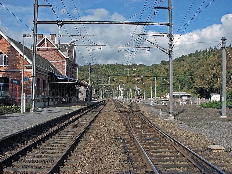
Highlights include Houyet railway station and Château d’Ardenne railway station.
Château d’Ardenne railway station
Ruins
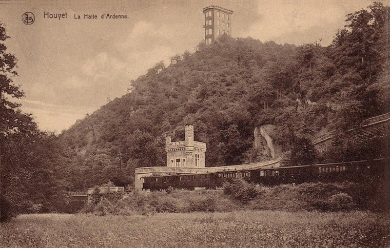
Photo: Dasjtereir, CC BY-SA 4.0.
Château d’Ardenne railway station is a ruins, which is situated 1¼ km northwest of Friterie de la Lesse.
Château Miranda
Ruins
 Château Miranda, also known as Château de Noisy was a 19th-century neo-Gothic castle in Celles, province of Namur, Wallonia, Belgium, in the region of the Ardennes. Demolition of the château began in October 2016 and was completed by October 2017. Château Miranda is situated 4 km north of Friterie de la Lesse.
Places in the Area
Nearby places include Gendron and Ferage.

Ferage
Hamlet
Photo: Jean-Pol GRANDMONT, CC BY 2.5.
Ferage is a hamlet, which is situated 3 km west of Friterie de la Lesse.
Hour
Village

Photo: David Edgar, CC BY 2.5.
Hour is a village, which is situated 4 km southeast of Friterie de la Lesse.
Friterie de la Lesse
- Type: Fast food restaurant
- Cuisine: friture
- Categories: food and restaurant
- Location: Houyet, Arrondissement de Dinant, Namur, Wallonia, Belgium, Benelux, Europe
- View on OpenStreetMap
Latitude
50.18952° or 50° 11′ 22″ northLongitude
5.0066° or 5° 0′ 24″ eastOpen location code
9F2752Q4+RJOpenStreetMap ID
node 12091955761OpenStreetMap feature
amenity=fast_foodOpenStreetMap attribute
cuisine=friture
This page is based on OpenStreetMap, Wikidata, and Wikimedia Commons.
We’d love your help improving our open data sources. Thank you for contributing.
Satellite Map
Discover Friterie de la Lesse from above in high-definition satellite imagery.
Notable Places Nearby
Highlights include Gare de Houyet and Office du tourisme & espace citoyen.
Nearby Places
Explore places such as Val de Lesse and Cabine SNCB.
Curious Fast Food Restaurants to Discover
Uncover intriguing fast food restaurants from every corner of the globe.
About Mapcarta. Data © OpenStreetMap contributors and available under the Open Database License". Text is available under the CC BY-SA 4.0 license, except for photos, directions, and the map. Photo: Jean-Pol GRANDMONT, CC BY 3.0.