Flowery Field
Flowery Field is a railway stop in Tameside, England. Flowery Field is situated nearby to the pitch George & Dragon Crown Green Bowls Club, as well as near Rosemount Trinity Methodist Church.| Tap on a place to explore it |
Places of Interest Nearby
Highlights include Flowery Field railway station and Hyde North railway station.
Flowery Field railway station
Railway station

Photo: Rept0n1x, CC BY-SA 3.0.
Flowery Field railway station serves the Flowery Field area of Hyde, Greater Manchester, England. It is 7 miles east of Manchester Piccadilly on the Manchester-Glossop Line.
Hyde North railway station
Railway station

Photo: Peter Whatley, CC BY-SA 2.0.
Hyde North is a railway station serving the north of Hyde, Greater Manchester, England. It is managed by Northern Trains, who also operate all services that stop here. Hyde North railway station is situated 1,700 feet northwest of Flowery Field.
Hyde High School
School
Hyde High School is a co-educational secondary school located in the Flowery Field area of Hyde in the English county of Greater Manchester. It is a community school administered by Tameside Metropolitan Borough Council, and offers GCSEs and BTECs as programmes of study for pupils. Hyde High School is situated 990 feet southwest of Flowery Field.
Places in the Area
Nearby places include Newton and Hyde.
Newton
Suburb

Photo: Whohe!, CC BY-SA 3.0.
Newton is an area of Hyde, in the Tameside district, in Greater Manchester, England; it occupies a narrow strip of land from the River Tame, near Newton Hall, to Matley, between Hyde and Dukinfield.
Hyde
Town

Photo: Wikimedia, CC BY-SA 2.0.
Tameside is a borough on the east side of Greater Manchester, with Ashton-under-Lyne its main town. There are over 300 listed buildings in Tameside and three Scheduled Ancient Monuments, including Buckton Castle. In 2019 the population was 226,000.
Dukinfield
Town
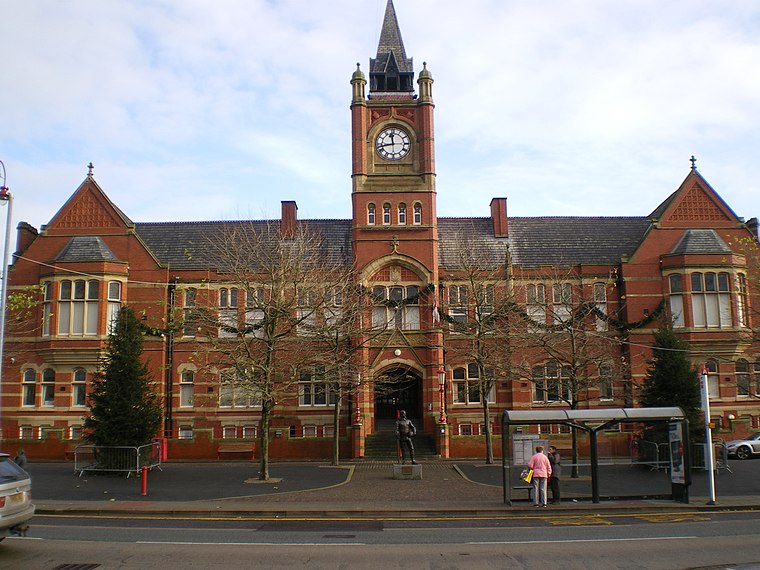
Photo: Wikimedia, CC BY-SA 2.0.
Dukinfield is a town in Tameside, Greater Manchester, England, on the south bank of the River Tame opposite Ashton-under-Lyne, 6.3 miles east of Manchester.
Flowery Field
- Type: Railway stop
- Categories: transport stop and transportation
- Location: Tameside, England, United Kingdom, Britain and Ireland, Europe
- View on OpenStreetMap
Latitude
53.46115° or 53° 27′ 40″ northLongitude
-2.07961° or 2° 4′ 47″ westOperator
NorthernNetwork
Network RailOpen location code
9C5VFW6C+F5OpenStreetMap ID
node 12105371317OpenStreetMap feature
public_transport=stop_positionOpenStreetMap feature
railway=stop
This page is based on OpenStreetMap, Wikidata, and Wikimedia Commons.
We’d love your help improving our open data sources. Thank you for contributing.
Satellite Map
Discover Flowery Field from above in high-definition satellite imagery.
Places with the Same Name
Discover other places named “Flowery Field”.
Notable Places Nearby
Highlights include George & Dragon Crown Green Bowls Club and Flowery Field Angling Club.
Nearby Places
Explore places such as Flowery Field Primary School and Flowery Field.
England: Must-Visit Destinations
Delve into London, Manchester, Sheffield, and Leeds.
Curious Railway Stops to Discover
Uncover intriguing railway stops from every corner of the globe.
About Mapcarta. Data © OpenStreetMap contributors and available under the Open Database License". Text is available under the CC BY-SA 4.0 license, except for photos, directions, and the map. Photo: Zboralski, CC0.