Combined Sewer Overflow
Combined Sewer Overflow is a waterworks in Bristol, England which is located on Hampton Road. Combined Sewer Overflow is situated nearby to the community center Tyndale Centre, as well as near the art gallery chandos atelier.| Tap on a place to explore it |
Places of Interest Nearby
Highlights include Tyndale Baptist Church and Redland Library.
Tyndale Baptist Church
Church

Photo: Mattbuck, CC BY-SA 3.0.
Tyndale Baptist Church is a Baptist church in Whiteladies Road, Redland, in Bristol, England. The church was founded in 1869, following an initiative by Broadmead Baptist Church to establish a church to serve the growing population of Redland. Tyndale Baptist Church is situated 690 feet west of Combined Sewer Overflow.

Clifton Down railway station
Railway station

Photo: Wikimedia, CC BY-SA 3.0.
Clifton Down railway station is on the Severn Beach line and serves the district of Clifton in Bristol, England. It is 3.9 miles from Bristol Temple Meads. Clifton Down railway station is situated 1,200 feet southwest of Combined Sewer Overflow.
Places in the Area
Nearby places include Cotham and Tyndall’s Park.
Cotham
Suburb
Cotham is an area of Bristol, England, about one mile north of the city centre. It is an affluent, leafy, inner city suburb situated north of the neighbourhoods of Kingsdown and St Paul’s.
Tyndall’s Park
Neighborhood

Photo: Rod Allday, CC BY-SA 2.0.
Tyndall's Park is an area of central Bristol, England. It lies north of Park Row and Queen's Road, east of Whiteladies Road and west of St Michael's Hill, between the districts of Clifton, Cotham and Kingsdown.
Redland
Suburb
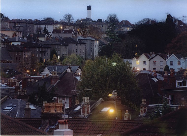
Photo: Wikimedia, CC BY-SA 3.0.
Redland is a neighbourhood in Bristol, England. The neighbourhood is situated between Clifton, Cotham, Bishopston and Westbury Park. The boundaries of the district are not precisely defined, but are generally taken to be Whiteladies Road in the west, the Severn Beach railway line in the south and Cranbrook Road in the east.
Combined Sewer Overflow
- Type: Waterworks
- Address: Hampton Road, Bristol
- Categories: building and industry
- Location: Bristol, England, United Kingdom, Britain and Ireland, Europe
- View on OpenStreetMap
Latitude
51.4659° or 51° 27′ 57″ northLongitude
-2.60691° or 2° 36′ 25″ westOpen location code
9C3VF98V+96OpenStreetMap ID
node 12113390903OpenStreetMap feature
building=yesOpenStreetMap feature
man_made=water_works
This page is based on OpenStreetMap, Wikidata, and Wikimedia Commons.
We’d love your help improving our open data sources. Thank you for contributing.
Satellite Map
Discover Combined Sewer Overflow from above in high-definition satellite imagery.
Places with the Same Name
Discover other places named “Combined Sewer Overflow”.
Notable Places Nearby
Highlights include Tyndale Centre and chandos atelier.
Nearby Places
Explore places such as Esso and Londis.
England: Must-Visit Destinations
Delve into London, Manchester, Sheffield, and Leeds.
Curious Waterworks to Discover
Uncover intriguing waterworks from every corner of the globe.
About Mapcarta. Data © OpenStreetMap contributors and available under the Open Database License". Text is available under the CC BY-SA 4.0 license, except for photos, directions, and the map. Photo: sidibousaid, CC BY 2.0.