Paddocks Corner
Paddocks Corner is a locality in Bristol, England. Paddocks Corner is situated nearby to the suburb Redland, as well as near the locality Blackboy Hill.| Tap on a place to explore it |
Places of Interest
Highlights include Redland Chapel and Redland railway station.
Redland Chapel
Church

Photo: Wikimedia, CC BY-SA 2.0.
Redland Parish Church is a Georgian church, built in 1742, in the Redland suburb of Bristol, England. It is a Grade I listed building.
Redland railway station
Railway station

Photo: GrooveBox, CC BY-SA 2.0.
Redland railway station is on the Severn Beach Line and serves the districts of Cotham and Redland in Bristol, England. It is 3.3 miles from Bristol Temple Meads.
Redland Green
Park

Photo: Phillipa Crabbe, CC BY 2.0.
Redland Green is a park in the Bristol suburb of Redland. The park consists of a grassland area and an area of scrub and woodland managed as wildlife habitats by Bristol City Council in partnership with local community groups.
Places in the Area
Nearby places include Redland and Cotham.
Redland
Suburb
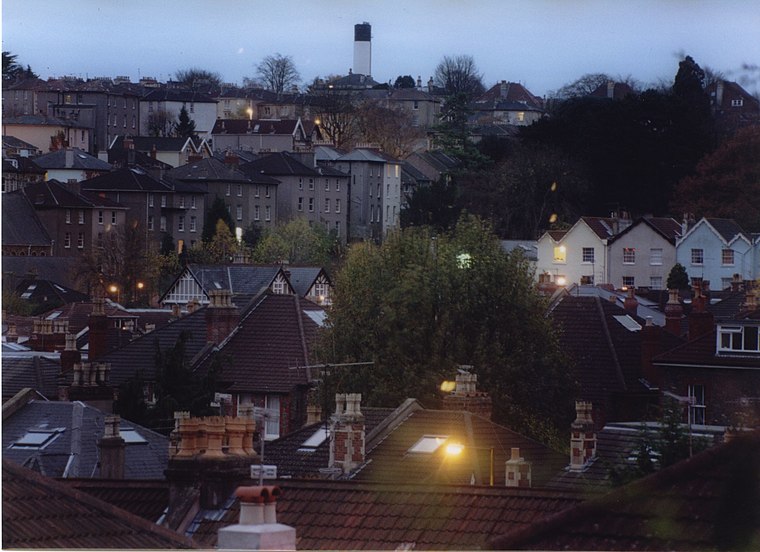
Photo: Wikimedia, CC BY-SA 3.0.
Redland is a neighbourhood in Bristol, England. The neighbourhood is situated between Clifton, Cotham, Bishopston and Westbury Park. The boundaries of the district are not precisely defined, but are generally taken to be Whiteladies Road in the west, the Severn Beach railway line in the south and Cranbrook Road in the east.
Cotham
Suburb
Cotham is an area of Bristol, England, about one mile north of the city centre. It is an affluent, leafy, inner city suburb situated north of the neighbourhoods of Kingsdown and St Paul’s.
Westbury Park
Suburb
Westbury Park is a suburb of the city of Bristol, United Kingdom. It lies to the east of Durdham Down between the districts of Redland and Henleaze. The area is very similar in character to nearby Redland and comprises mainly Victorian and early twentieth-century architecture, along with a selection of Georgian buildings.
Paddocks Corner
- Type: Locality
- Location: Bristol, England, United Kingdom, Britain and Ireland, Europe
- View on OpenStreetMap
Latitude
51.47021° or 51° 28′ 13″ northLongitude
-2.60444° or 2° 36′ 16″ westOpen location code
9C3VF9CW+36OpenStreetMap ID
node 12113496192OpenStreetMap feature
place=locality
This page is based on OpenStreetMap, Wikidata, and Wikimedia Commons.
We’d love your help improving our open data sources. Thank you for contributing.
Satellite Map
Discover Paddocks Corner from above in high-definition satellite imagery.
Localities in the Area
Explore places such as Redland Park Corner and Blackboy Hill.
Notable Places Nearby
Highlights include Clyde Park and Redland Grove Open Space.
England: Must-Visit Destinations
Delve into London, Manchester, Sheffield, and Leeds.
Curious Localities to Discover
Uncover intriguing localities from every corner of the globe.
About Mapcarta. Data © OpenStreetMap contributors and available under the Open Database License". Text is available under the CC BY-SA 4.0 license, except for photos, directions, and the map. Photo: sidibousaid, CC BY 2.0.