Mambog-Bayanan
Mambog-Bayanan is a bus stop in Bacoor, Cavite, Calabarzon. Mambog-Bayanan is situated nearby to the place of worship Convergence, as well as near the marketplace 678 Wet & Dry Market.| Tap on a place to explore it |
Places of Interest Nearby
Highlights include Imus Historical Museum and Imus Cathedral.
Imus Historical Museum
Museum
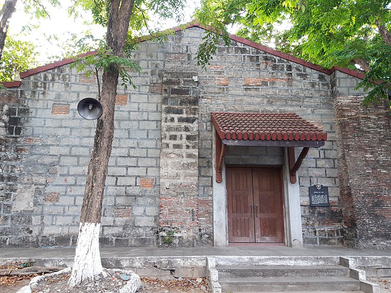
Photo: Seav, CC BY-SA 4.0.
Imus Historical Museum is situated 3 km west of Mambog-Bayanan.
Imus Cathedral
Church

Photo: Ramon FVelasquez, CC BY-SA 3.0.
The Diocesan Shrine and Parish of Our Lady of the Pillar, commonly known as Imus Cathedral, is a Roman Catholic cathedral church in the city of Imus, in the province of Cavite, Philippines. Imus Cathedral is situated 3½ km west of Mambog-Bayanan.
Saint Ezequiel Moreno: 1848–1906
Memorial
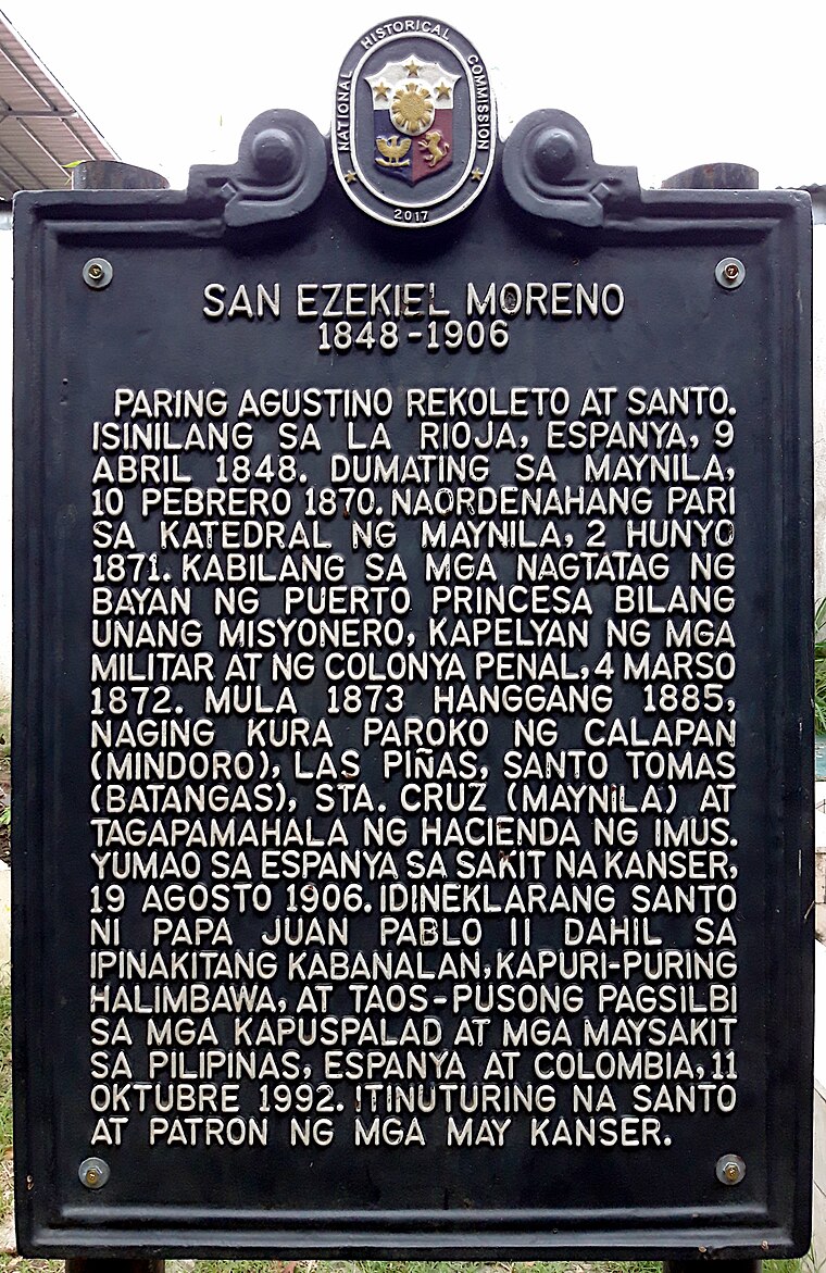 Saint Ezequiel Moreno: 1848–1906 is a memorial, which is situated 2 km northeast of Mambog-Bayanan.
Places in the Area
Nearby places include Imus and BF International Village.
Imus

Photo: Aerous, CC BY-SA 3.0.
Imus is a city in Cavite, and the de jure capital of the province. The city is the site of Battle of Alapan, a major encounter during the Philippine Revolution on 1898.
BF International Village
Quarter
BF International Village is a barangay in the first district of Las Piñas, Metro Manila, Philippines. As of 2020, BF International Village has a population of 77,264 people spread over 2.17 km2 of land. BF International Village is situated 5 km northeast of Mambog-Bayanan.
Ayala Alabang
Quarter

Photo: Hadrean28, CC BY-SA 3.0.
Ayala Alabang, in terms of land area, is the third largest barangay in Muntinlupa, Metro Manila, Philippines. A large portion of it came from Barangay Alabang. Ayala Alabang is situated 7 km east of Mambog-Bayanan.
Mambog-Bayanan
- Type: Bus stop
- Category: transportation
- Location: Bacoor, Cavite, Calabarzon, Luzon, Philippines, Southeast Asia, Asia
- View on OpenStreetMap
Latitude
14.42302° or 14° 25′ 23″ northLongitude
120.96577° or 120° 57′ 57″ eastOpen location code
7Q62CXF8+68OpenStreetMap ID
node 12117637921OpenStreetMap feature
highway=bus_stopOpenStreetMap feature
public_transport=platform
This page is based on OpenStreetMap, Wikidata, and Wikimedia Commons.
We’d love your help improving our open data sources. Thank you for contributing.
Satellite Map
Discover Mambog-Bayanan from above in high-definition satellite imagery.
Notable Places Nearby
Highlights include Convergence and 678 Wet & Dry Market.
Nearby Places
Explore places such as Tokyo Tokyo and KFC.
Cavite: Must-Visit Destinations
Delve into Tagaytay, Dasmariñas, Cavite City, and Imus.
Curious Bus Stops to Discover
Uncover intriguing bus stops from every corner of the globe.
About Mapcarta. Data © OpenStreetMap contributors and available under the Open Database License". Text is available under the CC BY-SA 4.0 license, except for photos, directions, and the map. Photo: Cookie Nguyen, CC BY-SA 4.0.