Mönchröden Lindenstraße Rabersbach
Mönchröden Lindenstraße Rabersbach is a bus station in Rödental, Landkreis Coburg, Bavaria. Mönchröden Lindenstraße Rabersbach is situated nearby to the railway stop Rödental Mitte, as well as near the pitch Bolzplatz.| Tap on a place to explore it |
Places of Interest Nearby
Highlights include St. Mary (Einberg) and Cultural heritage D-4-73-159-16 in Rödental.
St. Mary (Einberg)
Church

Photo: Störfix, CC BY-SA 3.0 de.
St. Mary (Einberg) is a church, which is situated 1¼ km southwest of Mönchröden Lindenstraße Rabersbach.
Cultural heritage D-4-73-159-16 in Rödental
Building

Photo: Störfix, CC BY-SA 3.0.
Cultural heritage D-4-73-159-16 in Rödental is a building, which is situated 740 metres northeast of Mönchröden Lindenstraße Rabersbach.
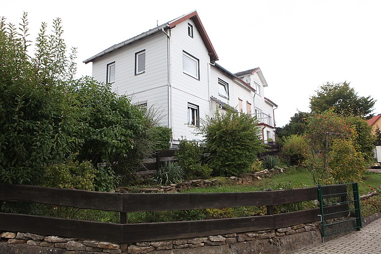
Pfarrhaus
Building

Photo: Störfix, CC BY-SA 3.0 de.
Pfarrhaus is a building, which is situated 690 metres northeast of Mönchröden Lindenstraße Rabersbach.
Places in the Area
Nearby places include Alexandrinenthal and Rothenhof.
Alexandrinenthal
Neighborhood

Photo: Wikimedia, CC BY-SA 3.0 de.
Alexandrinenthal is a neighborhood.

Mönchröden Lindenstraße Rabersbach
- Type: Bus station
- Categories: bus stop, station, and transportation
- Location: Rödental, Landkreis Coburg, Upper Franconia, Franconia, Bavaria, Germany, Central Europe, Europe
- View on OpenStreetMap
Latitude
50.29516° or 50° 17′ 43″ northLongitude
11.05533° or 11° 3′ 19″ eastOpen location code
9F2H73W4+34OpenStreetMap ID
node 12145931279OpenStreetMap feature
highway=bus_stopOpenStreetMap feature
public_transport=station
This page is based on OpenStreetMap, Wikidata, and Wikimedia Commons.
We’d love your help improving our open data sources. Thank you for contributing.
Satellite Map
Discover Mönchröden Lindenstraße Rabersbach from above in high-definition satellite imagery.
Notable Places Nearby
Highlights include Rödental Mitte and Bolzplatz.
Nearby Places
Explore places such as Bayernwerk Netz and Umspannwerk Mönchröden.
Upper Franconia: Must-Visit Destinations
Delve into Bamberg, Bayreuth, Coburg, and Hof.
Curious Bus Stations to Discover
Uncover intriguing bus stations from every corner of the globe.
About Mapcarta. Data © OpenStreetMap contributors and available under the Open Database License". Text is available under the CC BY-SA 4.0 license, except for photos, directions, and the map. Photo: Wikimedia, CC0.