Higher Hartor
Higher Hartor is a peak in England, United Kingdom. Higher Hartor is situated nearby to the locality Plym Steps, as well as near Giant’s Hill.| Tap on a place to explore it |
Places of Interest
Highlights include Drizzlecombe and Down Tor.
Drizzlecombe
Archaeological site

Photo: Herbythyme, CC BY-SA 4.0.
Drizzlecombe or Thrushelcombe is an area of Dartmoor in the county of Devon, England, containing a number of Bronze Age stone rows, cairns and menhirs.
Down Tor
Peak

Photo: Herbythyme, CC BY-SA 4.0.
Down Tor is a tor on Dartmoor, England, at GR 581694, height 366 metres, overlooking Burrator Reservoir.
Yellowmead stone circle
Archaeological site

Photo: Richard Knights, CC BY-SA 2.0.
Yellowmead stone circle near Sheepstor in Devon, England, is a Bronze Age concentric stone circle consisting of four rings of stones set within one another.
Places in the Area
Nearby places include Princetown and Meavy.
Princetown

Photo: RobThinks, CC BY-SA 4.0.
Princetown is a village in Dartmoor, in the English county of Devon. The village sits within the Dartmoor National Park. At around 435 m above sea level, Princetown is the highest settlement on the moor.
Meavy

Photo: RobThinks, CC BY-SA 4.0.
Meavy is a small village in Dartmoor, in the English county of Devon. The village sits within the Dartmoor National Park.
Dousland
Village
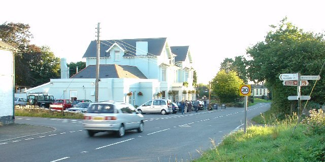
Photo: Pete Chapman, CC BY-SA 2.0.
Dousland is a small settlement in Devon, England. It is near the A386 road at Yelverton and is 10 kilometres northeast of the city of Plymouth - 10 kilometres by road.
Higher Hartor
- Type: Peak
- Category: landform
- Location: England, United Kingdom, Britain and Ireland, Europe
- View on OpenStreetMap
Latitude
50.4928° or 50° 29′ 34″ northLongitude
-3.9757° or 3° 58′ 33″ westOpen location code
9C2RF2VF+4POpenStreetMap ID
node 1215273373OpenStreetMap feature
natural=peak
This page is based on OpenStreetMap, Wikidata, and Wikimedia Commons.
We’d love your help improving our open data sources. Thank you for contributing.
Satellite Map
Discover Higher Hartor from above in high-definition satellite imagery.
Localities in the Area
Explore places such as Plym Steps and Giant’s Hill.
Notable Places Nearby
Highlights include Eylesbarrow Tin Mine and Lower Hartor.
England: Must-Visit Destinations
Delve into London, Manchester, Sheffield, and Leeds.
Curious Peaks to Discover
Uncover intriguing peaks from every corner of the globe.
About Mapcarta. Data © OpenStreetMap contributors and available under the Open Database License". Text is available under the CC BY-SA 4.0 license, except for photos, directions, and the map. Photo: sidibousaid, CC BY 2.0.