Bullions Farm Cottages
Bullions Farm Cottages is a chalet in Shotley Low Quarter, Northumberland, England. Bullions Farm Cottages is situated nearby to the forest Quarry Wood, as well as near the hamlet Carterway Heads.| Tap on a place to explore it |
Places of Interest Nearby
Highlights include Minsteracres and Church of All Saints.
Minsteracres
Church

Photo: Andrew Curtis, CC BY-SA 2.0.
Minsteracres is an 18th-century mansion house, now a Christian retreat centre, in Northumberland, England. It is a Grade II listed building. The house was built in 1758 by George Silvertop. Minsteracres is situated 1½ miles northwest of Bullions Farm Cottages.
Church of All Saints
Church

Photo: Les Hull, CC BY-SA 2.0.
Church of All Saints is situated 2½ miles south of Bullions Farm Cottages.
Derwent Reservoir
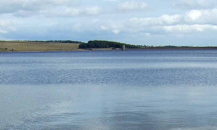 The Derwent Reservoir is a reservoir on the River Derwent, on the border between County Durham and Northumberland, in England. It is west of Consett. It is 3.5 miles long) and covers an area of 4 km2 and has a maximum depth of 100 ft and when full, holds 11,000 million gallons. Derwent Reservoir is situated 2 miles southwest of Bullions Farm Cottages.
Places in the Area
Nearby places include Carterway Heads and Snods Edge.
Carterway Heads
Hamlet

Photo: Mike Quinn, CC BY-SA 2.0.
Carterway Heads is a hamlet in Northumberland, England. It is situated between Consett and the Derwent Reservoir, at the intersection of the A68 and B6278 roads.
Snods Edge
Hamlet

Photo: Dennis Lovett, CC BY-SA 2.0.
Snods Edge is a small hamlet in South Northumberland, about 4 miles from Consett. The name is thought to have derived from "snow's edge", referring to the hamlet's close proximity to the North Pennines. Snods Edge is situated 1½ miles southeast of Bullions Farm Cottages.
Muggleswick
Hamlet
Photo: Les Hull, CC BY-SA 2.0.
Muggleswick is a village and civil parish in County Durham, England. It is situated a few miles to the west of Consett. the population was 130 at the 2001 Census reducing to 113 at the 2011 Census. Muggleswick is situated 2½ miles south of Bullions Farm Cottages.
Bullions Farm Cottages
- Type: Chalet
- Postal code: DH8 9LS
- Categories: tourism, accommodation, and building
- Location: Shotley Low Quarter, Northumberland, North East England, England, United Kingdom, Britain and Ireland, Europe
- View on OpenStreetMap
Latitude
54.87761° or 54° 52′ 39″ northLongitude
-1.94224° or 1° 56′ 32″ westOperator
Bullions FarmOpen location code
9C6WV3H5+24OpenStreetMap ID
node 12189758859OpenStreetMap feature
tourism=chalet
This page is based on OpenStreetMap, Wikidata, and Wikimedia Commons.
We’d love your help improving our open data sources. Thank you for contributing.
Satellite Map
Discover Bullions Farm Cottages from above in high-definition satellite imagery.
Notable Places Nearby
Highlights include Bolbec Manor Campsite and Quarry Wood.
Nearby Places
Explore places such as Bullions Farm and New House Farm.
Northumberland: Must-Visit Destinations
Delve into Berwick-upon-Tweed, Lindisfarne, Alnwick, and Morpeth.
Curious Chalets to Discover
Uncover intriguing chalets from every corner of the globe.
About Mapcarta. Data © OpenStreetMap contributors and available under the Open Database License". Text is available under the CC BY-SA 4.0 license, except for photos, directions, and the map. Photo: matthewhartley369, CC BY-SA 2.0.