Thorne Road/Ogden Road
Thorne Road/Ogden Road is a bus stop in Barnby Dun with Kirk Sandall, Doncaster, England. Thorne Road/Ogden Road is situated nearby to Livingstone Avenue Post Office, as well as near Sandall Park Playground.| Tap on a place to explore it |
Places of Interest Nearby
Highlights include Sandall Park and Hungerhill School.
Sandall Park
Park

Photo: steven ruffles, CC BY-SA 2.0.
Sandall Park is a park in Doncaster, South Yorkshire, England. The park covers 69 acres and is located in Wheatley and is one of the biggest leisure parks in Doncaster. Sandall Park is situated 1,900 feet west of Thorne Road/Ogden Road.
Hungerhill School
School
Hungerhill School is a coeducational secondary school located on Hungerhill Lane, off of 'Thorne Road' in Edenthorpe, Doncaster, South Yorkshire, England. Hungerhill School is situated 2,500 feet northeast of Thorne Road/Ogden Road.
Castle Park rugby stadium
Stadium
Castle Park is a sports stadium in Doncaster, South Yorkshire. It is the home of the Doncaster Knights, a Rugby Union side who play in the RFU Championship. Castle Park rugby stadium is situated 1 mile south of Thorne Road/Ogden Road.
Places in the Area
Nearby places include Armthorpe and Kirk Sandall.
Armthorpe
Village

Photo: Richard Croft, CC BY-SA 2.0.
Armthorpe is a large suburban village and civil parish in the City of Doncaster, South Yorkshire, England. Historically within the West Riding of Yorkshire, it had a population of 12,630, increasing to 14,457 at the 2011 Census.
Kirk Sandall
Village
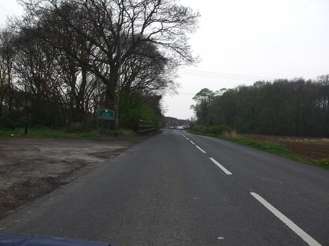
Photo: Glyn Drury, CC BY-SA 2.0.
Kirk Sandall is an outer suburb of Doncaster, located around 4 miles north-east of the city centre, in the civil parish of Barnby Dun with Kirk Sandall, in the county of South Yorkshire, England.
Intake
Suburb
Intake is a suburb of Doncaster in South Yorkshire, England. The area borders Town Fields, a large area of public land based on Town Moor Avenue. It contains 'Town Moor' which is part of the Intake electoral ward, although 'Town Fields' is a local Doncaster Council administrative area which encompasses the Town Moor district.
Thorne Road/Ogden Road
- Type: Bus stop
- Category: transportation
- Location: Barnby Dun with Kirk Sandall, Doncaster, England, United Kingdom, Britain and Ireland, Europe
- View on OpenStreetMap
Latitude
53.54651° or 53° 32′ 47″ northLongitude
-1.0805° or 1° 4′ 50″ westOperator
Travel South Yorkshire (SYTPE)Open location code
9C5WGWW9+JQOpenStreetMap ID
node 12205941914OpenStreetMap feature
highway=bus_stopOpenStreetMap feature
public_transport=platform
This page is based on OpenStreetMap, Wikidata, and Wikimedia Commons.
We’d love your help improving our open data sources. Thank you for contributing.
Satellite Map
Discover Thorne Road/Ogden Road from above in high-definition satellite imagery.
Places with the Same Name
Discover other places named “Thorne Road/Ogden Road”.
Notable Places Nearby
Highlights include Livingstone Avenue Post Office and Sandall Park Playground.
Nearby Places
Explore places such as B&M Homestore and Pets at Home.
England: Must-Visit Destinations
Delve into London, Manchester, Sheffield, and Leeds.
Curious Bus Stops to Discover
Uncover intriguing bus stops from every corner of the globe.
About Mapcarta. Data © OpenStreetMap contributors and available under the Open Database License". Text is available under the CC BY-SA 4.0 license, except for photos, directions, and the map. Photo: sidibousaid, CC BY 2.0.