Puig des Merlet
Puig des Merlet is a peak in Sant Josep de sa Talaia, Balearic Islands and has an elevation of 404 metres. Puig des Merlet is situated nearby to the locality Serra de ses Fontanelles, as well as near Serra de sa Murta.| Tap on a place to explore it |
Places in the Area
Nearby places include Sant Jordi de ses Salines and San Rafael.
Sant Jordi de ses Salines
Village

Photo: JanManu, CC BY-SA 3.0.
Sant Jordi de ses Salines is a small village in the south of the Spanish island of Ibiza. The village is in the municipality of Sant Josep de sa Talaia and is located close to the islands main Airport and straddles the designated road EI-800.
San Rafael
Hamlet
 Sant Rafel de sa Creu is a village on the Spanish island of Ibiza. It is off the main road that connects Ibiza Town and San Antonio.
Sant Agustí des Vedrà
Hamlet
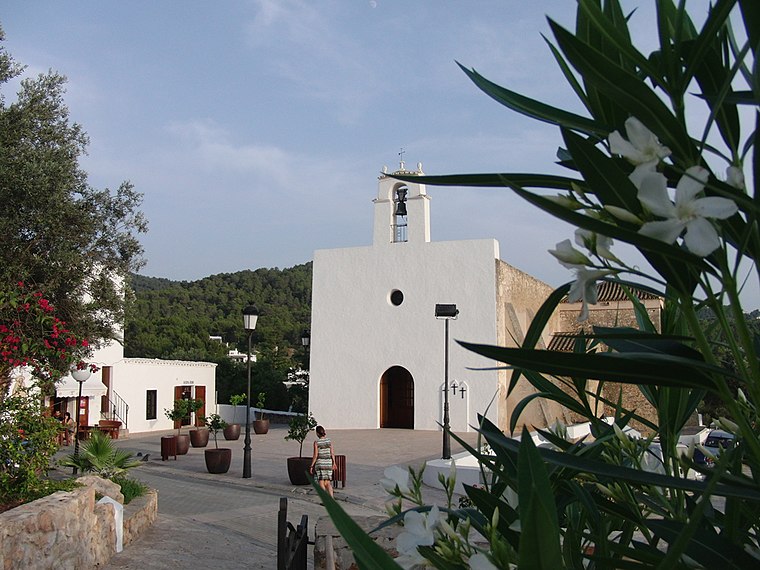
Photo: JanManu, CC BY-SA 3.0.
Sant Agustí des Vedrà is a small village in the West of the Spanish island of Ibiza. The village is in the municipality of Sant Josep de sa Talaia and is located on designated road EI-700.
Puig des Merlet
- Type: Peak with an elevation of 404 metres
- Category: landform
- Location: Sant Josep de sa Talaia, Balearic Islands, Spain, Iberia, Europe
- View on OpenStreetMap
Latitude
38.9301° or 38° 55′ 48″ northLongitude
1.3566° or 1° 21′ 24″ eastElevation
404 metres (1,325 feet)Open location code
8FC3W9J4+2JOpenStreetMap ID
node 12246114665OpenStreetMap feature
natural=peak
This page is based on OpenStreetMap, Wikidata, and Wikimedia Commons.
We’d love your help improving our open data sources. Thank you for contributing.
Satellite Map
Discover Puig des Merlet from above in high-definition satellite imagery.
In Other Languages
“Puig des Merlet” goes by many names.
- Catalan: “Puig des Merlet”
Localities in the Area
Explore places such as Serra de ses Fontanelles and Serra de sa Murta.
Notable Places Nearby
Highlights include Puig des Fornàs and Puig des Fogueró.
Balearic Islands: Must-Visit Destinations
Delve into Palma de Mallorca, Formentera, Ibiza, and Maó.
Curious Peaks to Discover
Uncover intriguing peaks from every corner of the globe.
About Mapcarta. Data © OpenStreetMap contributors and available under the Open Database License". Text is available under the CC BY-SA 4.0 license, except for photos, directions, and the map. Photo: anieto2k, CC BY-SA 2.0.