Gemeinschaft in der Evangelischen Kirche
Gemeinschaft in der Evangelischen Kirche is a church in Barmstedt, Pinneberg, Schleswig-Holstein. Gemeinschaft in der Evangelischen Kirche is situated nearby to the motorhome stopover Barmstedt Marktstraße, as well as near the fire station Freiwillige Feuerwehr Barmstedt.| Tap on a place to explore it |
- Type: Church
- Denomination: Protestant
- Wheelchair access: yes
Places of Interest Nearby
Highlights include Museum der Grafschaft Rantzau and Rantzau.
Museum der Grafschaft Rantzau
Museum

Photo: Wikimedia, CC BY-SA 3.0.
Museum der Grafschaft Rantzau is situated 570 metres south of Gemeinschaft in der Evangelischen Kirche.
Rantzau

Photo: Leuband, CC BY-SA 3.0.
Rantzau is situated 640 metres south of Gemeinschaft in der Evangelischen Kirche.
Heiligen-Geist-Kirche (Barmstedt)
Church

Photo: podracerHH, CC BY-SA 3.0.
Heiligen-Geist-Kirche (Barmstedt) is a church, which is situated 1 km east of Gemeinschaft in der Evangelischen Kirche.
Places in the Area
Nearby places include Bullenkuhlen and Bevern.
Bullenkuhlen
Village
Bullenkuhlen is a municipality in the district of Pinneberg, in Schleswig-Holstein, Germany. Bullenkuhlen is situated 2½ km south of Gemeinschaft in der Evangelischen Kirche.
Bevern
Village
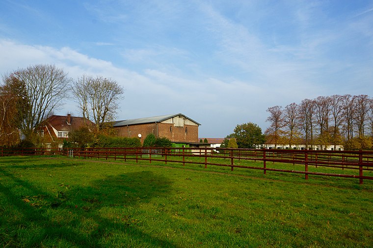
Photo: flamenc, CC BY-SA 3.0.
Bevern is a municipality in the district of Pinneberg, in Schleswig-Holstein, Germany. Bevern is situated 3½ km south of Gemeinschaft in der Evangelischen Kirche.
Seeth-Ekholt
Village
Seeth-Ekholt is a municipality in the district of Pinneberg, in Schleswig-Holstein, Germany. Seeth-Ekholt is situated 5 km south of Gemeinschaft in der Evangelischen Kirche.
Gemeinschaft in der Evangelischen Kirche
- Categories: place of worship and religion
- Location: Barmstedt, Pinneberg, Schleswig-Holstein, Germany, Central Europe, Europe
- View on OpenStreetMap
Latitude
53.78793° or 53° 47′ 17″ northLongitude
9.76223° or 9° 45′ 44″ eastOpen location code
9F5FQQQ6+5VOpenStreetMap ID
node 1229464164OpenStreetMap feature
amenity=place_of_worshipOpenStreetMap attribute
denomination=protestantOpenStreetMap attribute
wheelchair=yes
This page is based on OpenStreetMap, Wikidata, and Wikimedia Commons.
We’d love your help improving our open data sources. Thank you for contributing.
Satellite Map
Discover Gemeinschaft in der Evangelischen Kirche from above in high-definition satellite imagery.
Places with the Same Name
Discover other places named “Gemeinschaft in der Evangelischen Kirche”.
Notable Places Nearby
Highlights include Barmstedt Marktstraße and Freiwillige Feuerwehr Barmstedt.
Nearby Places
Explore places such as Barmstedt, Kleine Gärtnerstraße and Barmstedt, Moltkestraße.
Schleswig-Holstein: Must-Visit Destinations
Delve into Kiel, Lübeck, Flensburg, and Heligoland.
Curious Churches to Discover
Uncover intriguing churches from every corner of the globe.
About Mapcarta. Data © OpenStreetMap contributors and available under the Open Database License". Text is available under the CC BY-SA 4.0 license, except for photos, directions, and the map. Photo: Ypsilon from Finland, CC0.