Southgate Mosque Food Bank
Southgate Mosque Food Bank is a social service facility in Enfield, Greater London, England which is located on High Street. Southgate Mosque Food Bank is situated nearby to Southgate Mosque and Community Centre, as well as near Southgate Fire Station.| Tap on a place to explore it |
Places of Interest Nearby
Highlights include Southgate tube station and Christ Church, Southgate.
Southgate tube station
Metro station

Photo: Sunil060902, CC BY-SA 3.0.
Southgate is a London Underground station in Southgate. It is on the Piccadilly line between Arnos Grove and Oakwood stations, and is located in Travelcard Zone 4. Southgate tube station is situated 1,000 feet north of Southgate Mosque Food Bank.
Christ Church, Southgate
Church

Photo: Christine Matthews, CC BY-SA 2.0.
Christ Church, Southgate, is a Church of England parish church in Waterfall Road, Southgate, London. It describes itself as a "liberal catholic Church of England parish". Christ Church, Southgate is situated 1,800 feet south of Southgate Mosque Food Bank.
St Andrew’s Southgate
Church
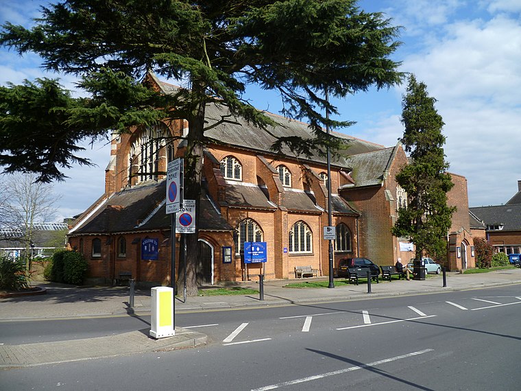
Photo: Philafrenzy, CC BY-SA 4.0.
St Andrew's Southgate is an Edwardian Church of England church in Chase Side, Southgate, London. It was built in 1903 and consecrated in 1913. It replaced a chapel-of-ease sited in nearby Farm Road since the 1870s, which became known as St Andrew's in the 1890s. St Andrew’s Southgate is situated 2,000 feet northwest of Southgate Mosque Food Bank.
Places in the Area
Nearby places include Southgate and Oakwood.
Southgate
Suburb

Photo: Londoneye, CC BY-SA 3.0.
Southgate is a suburban area of north London, England, in the London Borough of Enfield, 8 miles north of Charing Cross.
Oakwood
Quarter

Photo: John Salmon, CC BY-SA 2.0.
Oakwood is a suburban area of north London, in the London Borough of Enfield. It is situated within the Southgate postal area and was, historically, the southernmost area of Enfield Chase.
Brunswick Park
Suburb

Photo: Martin Addison, CC BY-SA 2.0.
Brunswick Park is a neighbourhood and public park in the London Borough of Barnet. It is north of New Southgate and to the south of Oakleigh Park. Roads include Brunswick Park Road, Brunswick Avenue and Brunswick Crescent.
Southgate Mosque Food Bank
- Type: Social service facility
- Address: High Street, London, N14 6BN
- Location: Enfield, Greater London, England, United Kingdom, Britain and Ireland, Europe
- View on OpenStreetMap
Latitude
51.62965° or 51° 37′ 47″ northLongitude
-0.12662° or 0° 7′ 36″ westOpen location code
9C3XJVHF+V9OpenStreetMap ID
node 12297589864OpenStreetMap feature
amenity=social_facility
This page is based on OpenStreetMap, Wikidata, and Wikimedia Commons.
We’d love your help improving our open data sources. Thank you for contributing.
Satellite Map
Discover Southgate Mosque Food Bank from above in high-definition satellite imagery.
Notable Places Nearby
Highlights include Southgate Mosque and Community Centre and Southgate Fire Station.
Nearby Places
Explore places such as Durants School and Lodge.
England: Must-Visit Destinations
Delve into London, Manchester, Sheffield, and Leeds.
Curious Social Service Facilities to Discover
Uncover intriguing social service facilities from every corner of the globe.
About Mapcarta. Data © OpenStreetMap contributors and available under the Open Database License". Text is available under the CC BY-SA 4.0 license, except for photos, directions, and the map. Photo: sidibousaid, CC BY 2.0.