Chêne du Liban
Chêne du Liban is in Versailles, Yvelines, Île-de-France. Chêne du Liban is situated nearby to the community center Maison de quartier Bernard de Jussieu Petits Bois Picardie, as well as near the library Bibliothèque des Petits-Bois.| Tap on a place to explore it |
Places of Interest Nearby
Highlights include Église Sainte-Bernadette de Montreuil and Montreuil station.
Église Sainte-Bernadette de Montreuil
Church

Photo: Chabe01, CC BY-SA 4.0.
Église Sainte-Bernadette de Montreuil is a church, which is situated 330 metres west of Chêne du Liban.
Montreuil station
Railway station

Photo: Geralix, CC BY-SA 3.0.
Montreuil station is a railway station in the commune of Versailles, in the Montreuil neighborhood. It is in the Île-de-France region of France and is part of the Transilien rail network, on the Paris–Saint Lazare –Versailles Rive Droite railway. Montreuil station is situated 660 metres west of Chêne du Liban.
Viroflay Rive Droite station
Railway station

Photo: Geralix, CC BY-SA 3.0.
Viroflay Rive Droite station is a railway station in the commune of Viroflay. It is in the Île-de-France region of France and is part of the Transilien rail network, on the Paris-Saint-Lazare – Versailles Rive Droite line. Viroflay Rive Droite station is situated 680 metres southeast of Chêne du Liban.
Places in the Area
Nearby places include Montreuil (Versailles) and Viroflay.

Viroflay
Town
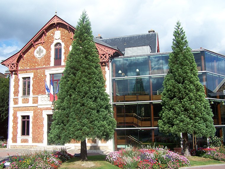
Photo: Henrysalome, CC BY-SA 3.0.
Viroflay is a commune in the Yvelines department in the Île-de-France in north-central France. It is located in the south-western suburbs of Paris 14.1 km from the center and 3 km from the Palace of Versailles.
Porchefontaine
Suburb

Photo: Henrysalome, CC BY-SA 3.0.
Porchefontaine is a neighborhood in the south-east of Versailles, in Yvelines department of France. It was a living working class residential area. Since the 1970s, the neighborhood declined in activity and population.
Chêne du Liban
- Type: Sign
- Categories: information and tourism
- Location: Versailles, Arrondissement of Versailles, Yvelines, Île-de-France, France, Europe
- View on OpenStreetMap
Latitude
48.80799° or 48° 48′ 29″ northLongitude
2.15987° or 2° 9′ 36″ eastOpen location code
8FW4R555+5WOpenStreetMap ID
node 12331571750OpenStreetMap feature
tourism=information
This page is based on OpenStreetMap, Wikidata, and Wikimedia Commons.
We’d love your help improving our open data sources. Thank you for contributing.
Satellite Map
Discover Chêne du Liban from above in high-definition satellite imagery.
Notable Places Nearby
Highlights include Maison de quartier Bernard de Jussieu Petits Bois Picardie and Bibliothèque des Petits-Bois.
Nearby Places
Explore places such as Bernard de Jussieu and Bernard de Jussieu.
Île-de-France: Must-Visit Destinations
Delve into Paris, Boulogne-Billancourt, Paris Charles de Gaulle Airport, and Fontainebleau.
Curious Places to Discover
Uncover intriguing places from every corner of the globe.
About Mapcarta. Data © OpenStreetMap contributors and available under the Open Database License". Text is available under the CC BY-SA 4.0 license, except for photos, directions, and the map. Photo: PS-2507, CC BY 3.0.