De Greenswacht
De Greenswacht is in Haaksbergen, Overijssel. De Greenswacht is situated nearby to the watermill Haarmühle, as well as near the nature reserve Witte Venn.| Tap on a place to explore it |
Places of Interest Nearby
Highlights include Haarmühle and Lüntener Fischteiche.
Haarmühle
Watermill

Photo: Gouwenaar, Public domain.
Haarmühle is a watermill, which is situated 740 metres northeast of De Greenswacht.
Lüntener Fischteiche
Nature reserve

Photo: Spunkinho, CC BY-SA 4.0.
Lüntener Fischteiche is a nature reserve, which is situated 2½ km southwest of De Greenswacht.
St. Mariä Himmelfahrt
Church

Photo: Tubantia, CC BY-SA 3.0.
St. Mariä Himmelfahrt is a church, which is situated 3½ km east of De Greenswacht.
Places in the Area
Nearby places include Buurse and Lünten.

Lünten
Village
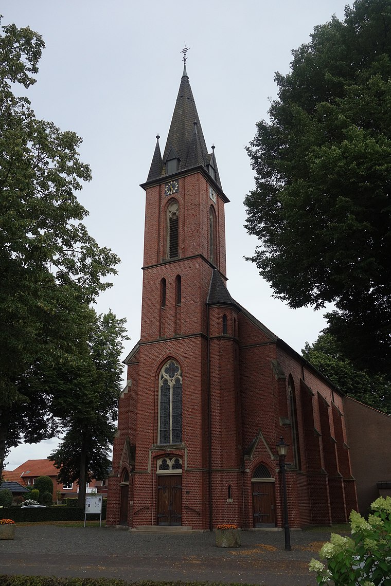
Photo: Vysotsky, CC BY-SA 4.0.
Lünten is a village, which is situated 3 km south of De Greenswacht.
Broekheurne
Hamlet

Photo: Wikimedia, CC BY-SA 4.0.
Broekheurne is a hamlet, which is situated 5 km north of De Greenswacht.
De Greenswacht
- Type: Sign
- Categories: information and tourism
- Location: Haaksbergen, Overijssel, Eastern Netherlands, Netherlands, Benelux, Europe
- View on OpenStreetMap
Latitude
52.12986° or 52° 7′ 48″ northLongitude
6.86639° or 6° 51′ 59″ eastOpen location code
9F484VH8+WHOpenStreetMap ID
node 12334687913OpenStreetMap feature
tourism=information
This page is based on OpenStreetMap, Wikidata, and Wikimedia Commons.
We’d love your help improving our open data sources. Thank you for contributing.
Satellite Map
Discover De Greenswacht from above in high-definition satellite imagery.
Notable Places Nearby
Highlights include Braambrug and Witte Venn.
Nearby Places
Explore places such as Grens and Startpunt Ter Huurne (MTB).
Overijssel: Must-Visit Destinations
Delve into Zwolle, Enschede, Deventer, and Almelo.
Curious Places to Discover
Uncover intriguing places from every corner of the globe.
About Mapcarta. Data © OpenStreetMap contributors and available under the Open Database License". Text is available under the CC BY-SA 4.0 license, except for photos, directions, and the map. Photo: Frans-Banja Mulder, CC BY 3.0.