La Raza Market
La Raza Market is a shop in Alameda, California. La Raza Market is situated nearby to the bus station 63rd Avenue, as well as near Calvary Temple Assembly of God Church.| Tap on a place to explore it |
Places of Interest Nearby
Highlights include Oakland Coliseum and Oakland Arena.
Oakland Coliseum
Stadium

Photo: Fastily, CC BY-SA 4.0.
Oakland–Alameda County Coliseum, often shortened to the Oakland Coliseum, is a multi-purpose stadium in Oakland, California, United States. It serves as part of the Oakland–Alameda County Coliseum Complex, located next to Oakland Arena. Oakland Coliseum is situated 1 mile south of La Raza Market.
Oakland Arena
Stadium
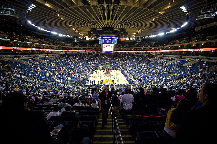
Photo: Wikimedia, CC BY-SA 2.0.
Oakland Arena, often referred to as the Oakland Coliseum Arena, is an indoor arena in Oakland, California, and part of the Oakland–Alameda County Coliseum Authority. Oakland Arena is situated 1 mile south of La Raza Market.
Oakland Coliseum station
Railway station

Photo: Pi.1415926535, CC BY-SA 3.0.
The station complex of Amtrak's Oakland Coliseum station and Bay Area Rapid Transit's Coliseum station is located in the East Oakland area of Oakland, California, United States. Oakland Coliseum station is situated 4,100 feet south of La Raza Market.
Places in the Area
Nearby places include Lockwood Gardens and Melrose.
Lockwood Gardens
Neighborhood
Lockwood Gardens, is a neighborhood and housing project located in East Oakland, California, on 65th and International Boulevard. The neighborhood lies at an elevation of 25 feet and is located less than a mile from the Oakland Coliseum.
Melrose
Neighborhood
Melrose is a neighborhood in Oakland in Alameda County, California. It lies at an elevation of 43 feet. There is at least one school in the neighborhood, Bridges Academy. It teaches kindergarten through fifth grade.
Seminary Park
Neighborhood
Seminary is a neighborhood in the East Oakland section of Oakland, California. It is located just north of the Elmhurst neighborhood. Seminary's ZIP code is 94621.
La Raza Market
- Type: Shop
- Location: Alameda, California, United States, North America
- View on OpenStreetMap
Latitude
37.76346° or 37° 45′ 48″ northLongitude
-122.19694° or 122° 11′ 49″ westOpen location code
849VQR73+96OpenStreetMap ID
node 12401161717OpenStreetMap feature
shop=grocery
This page is based on OpenStreetMap, Wikidata, and Wikimedia Commons.
We’d love your help improving our open data sources. Thank you for contributing.
Satellite Map
Discover La Raza Market from above in high-definition satellite imagery.
Places with the Same Name
Discover other places named “La Raza Market”.
Notable Places Nearby
Highlights include 63rd Avenue and Calvary Temple Assembly of God Church.
Nearby Places
Explore places such as International Boulevard & 62nd Avenue and Kwik Way Laundry.
California: Must-Visit Destinations
Delve into San Francisco, Los Angeles, San Diego, and Sacramento.
Curious Shops to Discover
Uncover intriguing shops from every corner of the globe.
About Mapcarta. Data © OpenStreetMap contributors and available under the Open Database License". Text is available under the CC BY-SA 4.0 license, except for photos, directions, and the map. Photo: Miskatonic, CC BY 2.5.