Eras del Prado
Eras del Prado is a locality in Casillas, Avila, Castile and León. Eras del Prado is situated nearby to the locality El Soto, as well as near La Melchora.| Tap on a place to explore it |
Places of Interest
Highlights include Puerto de Casillas and Sotillo de la Adrada town hall.
Puerto de Casillas
Mountain saddle
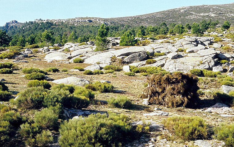
Photo: LBM1948, CC BY-SA 4.0.
Puerto de Casillas is a mountain saddle, which is situated 2½ km northeast of Eras del Prado.
Sotillo de la Adrada town hall
Town hall

Photo: Asqueladd, CC BY-SA 3.0.
Sotillo de la Adrada town hall is situated 3 km south of Eras del Prado.
Ermita de Nuestra Señora de los Remedios, Sotillo de la Adrada
Church
 Ermita de Nuestra Señora de los Remedios, Sotillo de la Adrada is a church, which is situated 3 km south of Eras del Prado.
Places in the Area
Nearby places include Sotillo de la Adrada and Santa María del Tiétar.
Sotillo de la Adrada
Village

Photo: Asqueladd, CC BY-SA 3.0.
Sotillo de la Adrada is a municipality located in the province of Ávila, Castile and León, Spain. According to the 2004 census, the municipality has a population of 4,009 inhabitants. Sotillo de la Adrada is situated 3½ km south of Eras del Prado.
Santa María del Tiétar
Village

Photo: Asqueladd, CC BY-SA 3.0.
Santa María del Tiétar is a municipality located in the province of Ávila, Castile and León, Spain. According to the 2004 census, the municipality has a population of 425 inhabitants. Santa María del Tiétar is situated 3½ km southeast of Eras del Prado.
La Adrada
Village

Photo: Asqueladd, CC BY-SA 3.0.
La Adrada is a municipality located in the province of Ávila, Castile and León, Spain. According to the 2004 census, the municipality had a population of 2,155 inhabitants. La Adrada is situated 4½ km southwest of Eras del Prado.
Eras del Prado
- Type: Locality
- Location: Casillas, Avila, Castile and León, Central Spain, Spain, Iberia, Europe
- View on OpenStreetMap
Latitude
40.32214° or 40° 19′ 20″ northLongitude
-4.58966° or 4° 35′ 23″ westOpen location code
8CGQ8CC6+V4OpenStreetMap ID
node 1241482079OpenStreetMap feature
place=locality
This page is based on OpenStreetMap, Wikidata, and Wikimedia Commons.
We’d love your help improving our open data sources. Thank you for contributing.
Satellite Map
Discover Eras del Prado from above in high-definition satellite imagery.
Places with the Same Name
Discover other places named “Eras del Prado”.
Localities in the Area
Explore places such as El Soto and La Melchora.
Notable Places Nearby
Highlights include Fuente de las Eras and Ermita de San Isidro.
Castile and León: Must-Visit Destinations
Delve into Valladolid, Salamanca, Segovia, and León.
Curious Localities to Discover
Uncover intriguing localities from every corner of the globe.
About Mapcarta. Data © OpenStreetMap contributors and available under the Open Database License". Text is available under the CC BY-SA 4.0 license, except for photos, directions, and the map. Photo: Paulo Valdivieso, CC BY-SA 2.0.