Cerro Matafuegos
Cerro Matafuegos is a locality in Fuente de Cantos, Badajoz, Extremadura. Cerro Matafuegos is situated nearby to the locality El Risco, as well as near Los Vieras.| Tap on a place to explore it |
Places in the Area
Nearby places include Calzadilla de los Barros.
Calzadilla de los Barros
Village
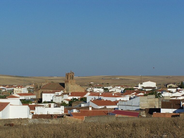
Photo: Spanishperson, Public domain.
Calzadilla de los Barros is a municipality located in the province of Badajoz, Extremadura, Spain. According to the 2005 census, the municipality has a population of 1174 inhabitants. Calzadilla de los Barros is situated 8 km north of Cerro Matafuegos.
Cerro Matafuegos
- Type: Locality
- Location: Fuente de Cantos, Badajoz, Extremadura, Central Spain, Spain, Iberia, Europe
- View on OpenStreetMap
Latitude
38.23229° or 38° 13′ 56″ northLongitude
-6.33937° or 6° 20′ 22″ westOpen location code
8CCM6MJ6+W7OpenStreetMap ID
node 1241565389OpenStreetMap feature
place=locality
This page is based on OpenStreetMap, Wikidata, and Wikimedia Commons.
We’d love your help improving our open data sources. Thank you for contributing.
Satellite Map
Discover Cerro Matafuegos from above in high-definition satellite imagery.
Localities in the Area
Explore places such as El Risco and Los Vieras.
Notable Places Nearby
Highlights include Pista Polideportiva Francisco de Zurbarán and Mercado de Abastos de Fuente de Cantos.
Extremadura: Must-Visit Destinations
Delve into Mérida, Badajoz, Caceres, and Plasencia.
Curious Localities to Discover
Uncover intriguing localities from every corner of the globe.
About Mapcarta. Data © OpenStreetMap contributors and available under the Open Database License". Text is available under the CC BY-SA 4.0 license, except for photos, directions, and the map. Photo: LBM1948, CC BY 4.0.