Picones de la Ribera
Picones de la Ribera is a locality in Ahigal de Villarino, Salamanca, Castile and León. Picones de la Ribera is situated nearby to the locality Lastrón del Campito, as well as near El Picón.| Tap on a place to explore it |
Places of Interest
Highlights include Ahigal de Villarino town hall.

Places in the Area
Nearby places include Villar de Samaniego and El Carrasco.
Villar de Samaniego
Village
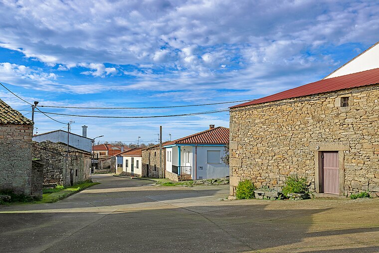
Photo: Hovallef, CC BY-SA 4.0.
Villar de Samaniego is a village and municipality located in the province of Salamanca, western Spain, part of the autonomous community of Castile and León. Villar de Samaniego is situated 6 km southwest of Picones de la Ribera.

Iruelos
Village

Photo: Hovallef, CC BY-SA 4.0.
Iruelos is a municipality located in Salamanca, Castile and León, Spain. As of 2016 the municipality has a population of 36 inhabitants. Iruelos is situated 7 km east of Picones de la Ribera.
Picones de la Ribera
- Type: Locality
- Location: Ahigal de Villarino, Salamanca, Castile and León, Central Spain, Spain, Iberia, Europe
- View on OpenStreetMap
Latitude
41.16037° or 41° 9′ 37″ northLongitude
-6.402° or 6° 24′ 7″ westOpen location code
8CHM5H6X+45OpenStreetMap ID
node 1241711863OpenStreetMap feature
place=locality
This page is based on OpenStreetMap, Wikidata, and Wikimedia Commons.
We’d love your help improving our open data sources. Thank you for contributing.
Satellite Map
Discover Picones de la Ribera from above in high-definition satellite imagery.
Localities in the Area
Explore places such as Lastrón del Campito and El Picón.
Notable Places Nearby
Highlights include Iglesia de Santa Águeda and Villar de Samaniego town hall.
Castile and León: Must-Visit Destinations
Delve into Valladolid, Salamanca, Segovia, and León.
Curious Localities to Discover
Uncover intriguing localities from every corner of the globe.
About Mapcarta. Data © OpenStreetMap contributors and available under the Open Database License". Text is available under the CC BY-SA 4.0 license, except for photos, directions, and the map. Photo: Xemenendura, CC BY-SA 4.0.