Besana de la Señora Ana
Besana de la Señora Ana is a locality in Topas, Salamanca, Castile and León. Besana de la Señora Ana is situated nearby to the locality Teso del Castillo, as well as near La Saucera.| Tap on a place to explore it |
Places of Interest
Highlights include Huelmos de Cañedo.
Huelmos de Cañedo
Dwelling

Photo: El Pantera, CC BY-SA 4.0.
Huelmos de Cañedo is a dwelling, which is situated 2½ km east of Besana de la Señora Ana.
Places in the Area
Nearby places include Forfoleda and Calzada de Valdunciel.
Forfoleda
Village
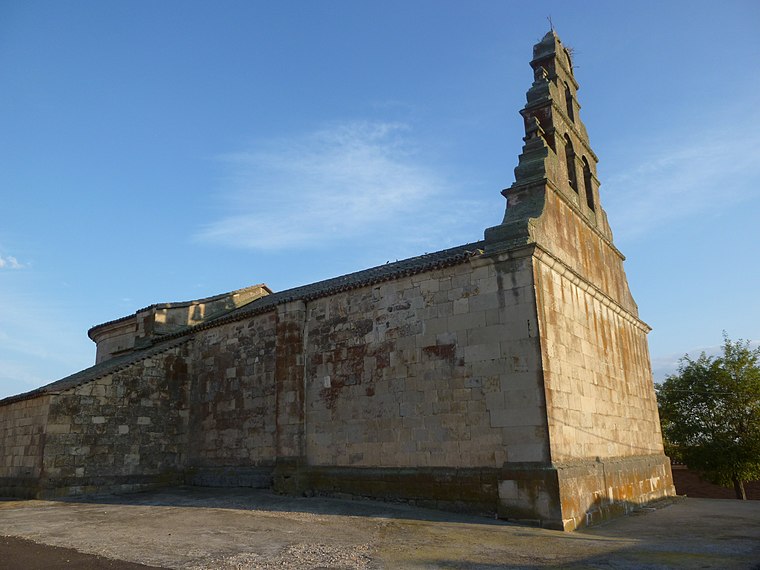
Photo: Armunia, CC BY-SA 3.0 es.
Forfoleda is a village and municipality in the province of Salamanca, western Spain, part of the autonomous community of Castile-Leon. It is located 18 kilometres from the provincial capital city of Salamanca and has a population of 189 people. Forfoleda is situated 4 km southwest of Besana de la Señora Ana.
Calzada de Valdunciel
Village

Photo: Malopez 21, CC BY-SA 4.0.
Calzada de Valdunciel is a village and municipality in the province of Salamanca, western Spain, part of the autonomous community of Castile and León. It is 14 kilometres from the provincial capital city of Salamanca. Calzada de Valdunciel is situated 5 km south of Besana de la Señora Ana.
Torresmenudas
Village

Photo: Armunia, CC BY-SA 3.0 es.
Torresmenudas is a municipality located in the province of Salamanca, Castile and León, Spain. According to the 2016 census, the municipality has a population of 198 inhabitants. Torresmenudas is situated 6 km southwest of Besana de la Señora Ana.
Besana de la Señora Ana
- Type: Locality
- Location: Topas, Salamanca, Castile and León, Central Spain, Spain, Iberia, Europe
- View on OpenStreetMap
Latitude
41.1315° or 41° 7′ 53″ northLongitude
-5.72498° or 5° 43′ 30″ westOpen location code
8CHP47JG+J2OpenStreetMap ID
node 1241757321OpenStreetMap feature
place=locality
This page is based on OpenStreetMap, Wikidata, and Wikimedia Commons.
We’d love your help improving our open data sources. Thank you for contributing.
Satellite Map
Discover Besana de la Señora Ana from above in high-definition satellite imagery.
Localities in the Area
Explore places such as Teso del Castillo and La Saucera.
Notable Places Nearby
Highlights include Church of Santo Tomás Apóstol, Forfoleda and Ayuntamiento de Forfoleda.
Castile and León: Must-Visit Destinations
Delve into Valladolid, Salamanca, Segovia, and León.
Curious Localities to Discover
Uncover intriguing localities from every corner of the globe.
About Mapcarta. Data © OpenStreetMap contributors and available under the Open Database License". Text is available under the CC BY-SA 4.0 license, except for photos, directions, and the map. Photo: Xemenendura, CC BY-SA 4.0.