Viña la Iglesia
Viña la Iglesia is a locality in Villalobos, Zamora, Castile and León. Viña la Iglesia is situated nearby to the locality Los Cocederos, as well as near La Lagunilla.| Tap on a place to explore it |
Places of Interest
Highlights include Vega de Villalobos town hall and Villalobos town hall.
Vega de Villalobos town hall
Town hall

Photo: Rodelar, CC BY-SA 4.0.
Vega de Villalobos town hall is situated 3 km east of Viña la Iglesia.
Villalobos town hall
Town hall

Photo: Rodelar, CC BY-SA 4.0.
Villalobos town hall is situated 3 km southeast of Viña la Iglesia.
Places in the Area
Nearby places include Villalobos and Vega de Villalobos.
Villalobos
Village

Photo: Rodelar, CC BY-SA 4.0.
Villalobos is a municipality located in the province of Zamora, Castile and León, Spain. According to the 2004 census, the municipality has a population of 295 inhabitants. The name literally means "City of Wolves" or "Village of the Wolves". Villalobos is situated 3 km southeast of Viña la Iglesia.
Vega de Villalobos
Village
Photo: Rodelar, CC BY-SA 4.0.
Vega de Villalobos is a municipality located in the province of Zamora, Castile and León, Spain. According to the 2004 census, the municipality has a population of 152 inhabitants. Vega de Villalobos is situated 3 km east of Viña la Iglesia.
Quintanilla del Molar
Village
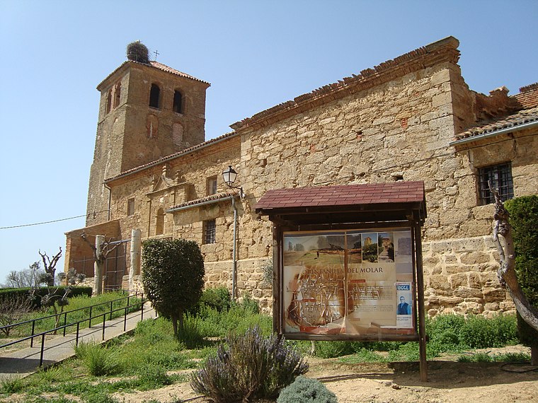
Photo: Rondador, CC BY-SA 4.0.
Quintanilla del Molar is a municipality located in the province of Valladolid, Castile and León, Spain. According to the 2004 census, the municipality has a population of 83 inhabitants. Quintanilla del Molar is situated 5 km northeast of Viña la Iglesia.
Viña la Iglesia
- Type: Locality
- Location: Villalobos, Zamora, Castile and León, Central Spain, Spain, Iberia, Europe
- View on OpenStreetMap
Latitude
41.96443° or 41° 57′ 52″ northLongitude
-5.49845° or 5° 29′ 54″ westOpen location code
8CHPXG72+QJOpenStreetMap ID
node 1241785964OpenStreetMap feature
place=locality
This page is based on OpenStreetMap, Wikidata, and Wikimedia Commons.
We’d love your help improving our open data sources. Thank you for contributing.
Satellite Map
Discover Viña la Iglesia from above in high-definition satellite imagery.
Places with the Same Name
Discover other places named “Viña la Iglesia”.
Localities in the Area
Explore places such as Los Cocederos and La Lagunilla.
Notable Places Nearby
Highlights include Cementerio de Villalobos and Iglesia Santa Clara.
Castile and León: Must-Visit Destinations
Delve into Valladolid, Salamanca, Segovia, and León.
Curious Localities to Discover
Uncover intriguing localities from every corner of the globe.
About Mapcarta. Data © OpenStreetMap contributors and available under the Open Database License". Text is available under the CC BY-SA 4.0 license, except for photos, directions, and the map. Photo: Wikimedia, CC BY-SA 3.0.