Los Montarrones
Los Montarrones is a locality in Lumpiaque Municipality, Saragossa, Aragon. Los Montarrones is situated nearby to the locality Las Nogueras, as well as near Cabezo Blanco.| Tap on a place to explore it |
Places of Interest
Highlights include Épila and Rueda De Jalon-Lumpiaque.

Rueda De Jalon-Lumpiaque
Railway stop

Photo: Jcabbe3, CC BY-SA 4.0.
Rueda De Jalon-Lumpiaque is a railway stop, which is situated 3½ km northeast of Los Montarrones.
Places in the Area
Nearby places include Épila Municipality and Rueda de Jalón.
Épila Municipality
Village

Photo: Wikimedia, Public domain.
Épila is a municipality in the province of Zaragoza, Aragon, Spain. Its population in 2005 was approximately 4,100. The Santuario de la Virgen de Rodanas is located in the Sierra de Nava Alta, west of Épila town. Épila Municipality is situated 3 km southeast of Los Montarrones.
Rueda de Jalón
Village

Photo: Ecelan, CC BY-SA 3.0.
Rueda de Jalón is a municipality located in the province of Zaragoza, Aragon, Spain. According to the 2004 census, the municipality has a population of 360 inhabitants. Rueda de Jalón is situated 3½ km northeast of Los Montarrones.
Salillas de Jalón
Village
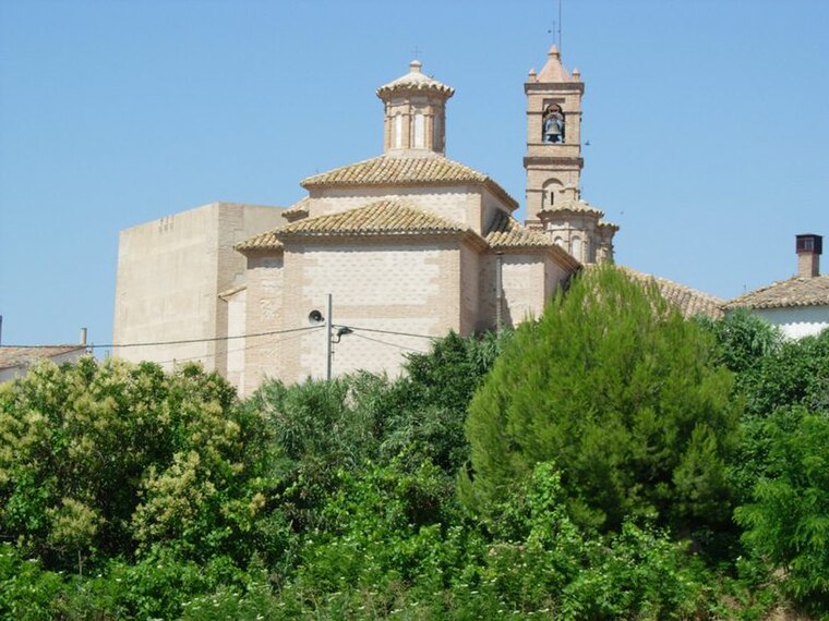
Photo: Wikimedia, CC BY-SA 3.0.
Salillas de Jalón is a municipality located in the province of Zaragoza, Aragon, Spain. According to the 2004 census, the municipality has a population of 344 inhabitants. It belongs to the county of Valdejalón. Salillas de Jalón is situated 6 km south of Los Montarrones.
Los Montarrones
- Type: Locality
- Location: Lumpiaque Municipality, Saragossa, Aragon, Northern Spain, Spain, Iberia, Europe
- View on OpenStreetMap
Latitude
41.61655° or 41° 36′ 60″ northLongitude
-1.31033° or 1° 18′ 37″ westOpen location code
8CHWJM8Q+JVOpenStreetMap ID
node 1242023783OpenStreetMap feature
place=locality
This page is based on OpenStreetMap, Wikidata, and Wikimedia Commons.
We’d love your help improving our open data sources. Thank you for contributing.
Satellite Map
Discover Los Montarrones from above in high-definition satellite imagery.
Localities in the Area
Explore places such as Las Nogueras and Cabezo Blanco.
Notable Places Nearby
Highlights include Piscinas Epila and Ermita Santa Maria Madalena.
Aragon: Must-Visit Destinations
Delve into Zaragoza, Huesca, Teruel, and Calatayud.
Curious Localities to Discover
Uncover intriguing localities from every corner of the globe.
About Mapcarta. Data © OpenStreetMap contributors and available under the Open Database License". Text is available under the CC BY-SA 4.0 license, except for photos, directions, and the map. Photo: Jiuguang Wang, CC BY-SA 3.0 es.