Ses Roques Llises
Ses Roques Llises is a locality in Calvià, Balearic Islands. Ses Roques Llises is situated nearby to the locality Pla de n’Estarelles, as well as near Coster des Càrritx.| Tap on a place to explore it |
Places of Interest
Highlights include Serra de Tramuntana and Puig d’en Bou.
Serra de Tramuntana
 Serra de Tramuntana is the region of Mallorca along its northwest coast, named for its mountain chain.

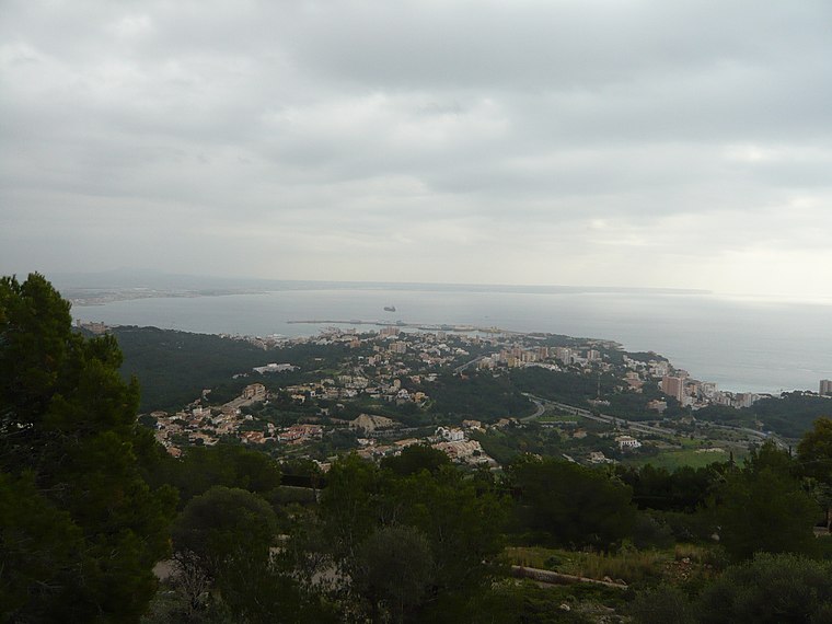
Puig Gros de Bendinat
Peak

Photo: Wikimedia, CC BY-SA 3.0.
Puig Gros de Bendinat is a peak, which is situated 2½ km southeast of Ses Roques Llises.
Places in the Area
Nearby places include Calvià and Son Vida.
Calvià
Village

Photo: Wikimedia, Public domain.
Calvià Vila is a town in the municipality of Calvià on the Spanish island of Majorca, which is also part of the autonomous community of the Balearic Islands. Calvià is situated 4 km southwest of Ses Roques Llises.
Son Vida
Suburb

Photo: Joan Gené, CC BY-SA 4.0.
Son Vida is a suburb, which is situated 4 km east of Ses Roques Llises.
Ses Roques Llises
- Type: Locality
- Location: Calvià, Balearic Islands, Spain, Iberia, Europe
- View on OpenStreetMap
Latitude
39.5797° or 39° 34′ 47″ northLongitude
2.54495° or 2° 32′ 42″ eastOpen location code
8FF4HGHV+VXOpenStreetMap ID
node 1242610829OpenStreetMap feature
place=locality
This page is based on OpenStreetMap, Wikidata, and Wikimedia Commons.
We’d love your help improving our open data sources. Thank you for contributing.
Satellite Map
Discover Ses Roques Llises from above in high-definition satellite imagery.
In Other Languages
“Ses Roques Llises” goes by many names.
- Catalan: “Ses Roques Llises”
Localities in the Area
Explore places such as Pla de n’Estarelles and Coster des Càrritx.
Notable Places Nearby
Highlights include Benatiga vell and Balma des Bolets.
Balearic Islands: Must-Visit Destinations
Delve into Palma de Mallorca, Formentera, Ibiza, and Maó.
Curious Localities to Discover
Uncover intriguing localities from every corner of the globe.
About Mapcarta. Data © OpenStreetMap contributors and available under the Open Database License". Text is available under the CC BY-SA 4.0 license, except for photos, directions, and the map. Photo: anieto2k, CC BY-SA 2.0.