Herrada Alta
Herrada Alta is a locality in Cuenca, Castile-La Mancha. Herrada Alta is situated nearby to the locality Coronillas, as well as near Laguna de las Modorrillas.| Tap on a place to explore it |
Places in the Area
Nearby places include Uña and Las Majadas.
Uña
Village
 Uña is a municipality located in the province of Cuenca, Castile-La Mancha, Spain. According to the 2004 census, the municipality has a population of 138 inhabitants. Uña is situated 4½ km southeast of Herrada Alta.
Las Majadas
Village
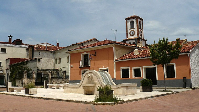
Photo: JAVR56, CC BY-SA 4.0.
Las Majadas is a municipality in Cuenca, Castile-La Mancha, Spain. It has a population of 365. Las Majadas is situated 5 km north of Herrada Alta.
Villalba de la Sierra
Village

Photo: Rodelar, CC BY-SA 4.0.
Villalba de la Sierra is a municipality located in the province of Cuenca, Castile-La Mancha, Spain. According to the 2004 census, the municipality has a population of 616 inhabitants. Villalba de la Sierra is situated 7 km west of Herrada Alta.
Herrada Alta
- Type: Locality
- Location: Cuenca, Cuenca, Castile-La Mancha, Central Spain, Spain, Iberia, Europe
- View on OpenStreetMap
Latitude
40.25292° or 40° 15′ 11″ northLongitude
-2.01524° or 2° 0′ 55″ westOpen location code
8CGV7X3M+5WOpenStreetMap ID
node 1243167502OpenStreetMap feature
place=locality
This page is based on OpenStreetMap, Wikidata, and Wikimedia Commons.
We’d love your help improving our open data sources. Thank you for contributing.
Satellite Map
Discover Herrada Alta from above in high-definition satellite imagery.
Places with the Same Name
Discover other places named “Herrada Alta”.
Localities in the Area
Explore places such as Coronillas and Laguna de las Modorrillas.
Notable Places Nearby
Highlights include Picón de Royo Frío and Mirador del Tío Cogote.
Castile-La Mancha: Must-Visit Destinations
Delve into Toledo, Albacete, Ciudad Real, and Consuegra.
Curious Localities to Discover
Uncover intriguing localities from every corner of the globe.
About Mapcarta. Data © OpenStreetMap contributors and available under the Open Database License". Text is available under the CC BY-SA 4.0 license, except for photos, directions, and the map. Photo: flashcurd, CC BY 2.0.