Hoya de los Nogales
Hoya de los Nogales is a locality in Fontanarejo, Ciudad Real, Castile-La Mancha. Hoya de los Nogales is situated nearby to the locality Morro del Castillejo, as well as near Hontanar.| Tap on a place to explore it |
Places in the Area
Nearby places include Arroba de los Montes and Fontanarejo.
Arroba de los Montes
Village

Photo: 19Tarrestnom65, CC BY-SA 4.0.
Arroba de los Montes is a municipality in the Province of Ciudad Real, Castile-La Mancha, Spain. It has a population of 415 as of 2023. Arroba de los Montes is situated 5 km southwest of Hoya de los Nogales.
Fontanarejo
Village

Photo: 19Tarrestnom65, CC BY-SA 4.0.
Fontanarejo is a municipality in Ciudad Real, Castile-La Mancha, Spain. It has a population of 348. Fontanarejo is situated 5 km northwest of Hoya de los Nogales.
Alcoba
Village
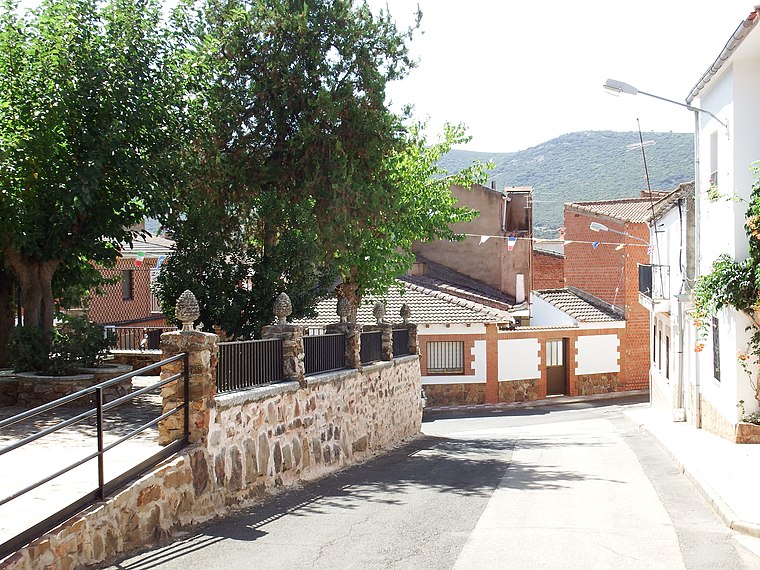
Photo: 19Tarrestnom65, CC BY-SA 4.0.
Alcoba is a municipality located in the province of Ciudad Real, Castile-La Mancha, Spain. It has a population of 639. Alcoba is situated 9 km north of Hoya de los Nogales.
Hoya de los Nogales
- Type: Locality
- Location: Fontanarejo, Ciudad Real, Castile-La Mancha, Central Spain, Spain, Iberia, Europe
- View on OpenStreetMap
Latitude
39.17665° or 39° 10′ 36″ northLongitude
-4.49182° or 4° 29′ 31″ westOpen location code
8CFQ5GG5+M7OpenStreetMap ID
node 1243217418OpenStreetMap feature
place=locality
This page is based on OpenStreetMap, Wikidata, and Wikimedia Commons.
We’d love your help improving our open data sources. Thank you for contributing.
Satellite Map
Discover Hoya de los Nogales from above in high-definition satellite imagery.
Localities in the Area
Explore places such as Morro del Castillejo and Hontanar.
Notable Places Nearby
Highlights include Iglesia Santos Felipe y Santiago and Piscina Municipal.
Castile-La Mancha: Must-Visit Destinations
Delve into Toledo, Albacete, Cuenca, and Ciudad Real.
Curious Localities to Discover
Uncover intriguing localities from every corner of the globe.
About Mapcarta. Data © OpenStreetMap contributors and available under the Open Database License". Text is available under the CC BY-SA 4.0 license, except for photos, directions, and the map. Photo: Miguel Angel Masegosa Martínez, CC BY 2.0.