Cerro del Abulagar
Cerro del Abulagar is a locality in Retuerta del Bullaque, Ciudad Real, Castile-La Mancha. Cerro del Abulagar is situated nearby to the locality La Nava, as well as near Portillos.| Tap on a place to explore it |
Places in the Area
Nearby places include Alcoba and Fontanarejo.
Alcoba
Village
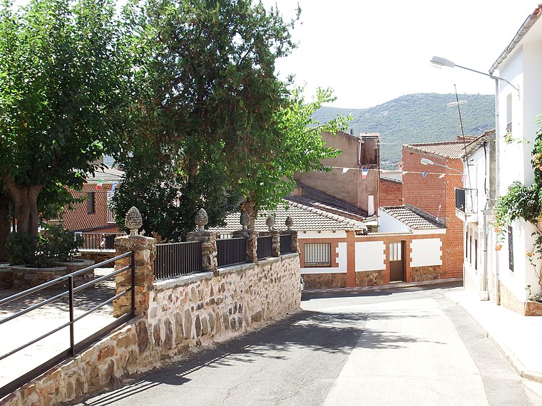
Photo: 19Tarrestnom65, CC BY-SA 4.0.
Alcoba is a municipality located in the province of Ciudad Real, Castile-La Mancha, Spain. It has a population of 639. Alcoba is situated 4½ km southeast of Cerro del Abulagar.
Fontanarejo
Village

Photo: 19Tarrestnom65, CC BY-SA 4.0.
Fontanarejo is a municipality in Ciudad Real, Castile-La Mancha, Spain. It has a population of 348. Fontanarejo is situated 8 km south of Cerro del Abulagar.
Cerro del Abulagar
- Type: Locality
- Location: Retuerta del Bullaque, Ciudad Real, Castile-La Mancha, Central Spain, Spain, Iberia, Europe
- View on OpenStreetMap
Latitude
39.29281° or 39° 17′ 34″ northLongitude
-4.50272° or 4° 30′ 10″ westOpen location code
8CFQ7FVW+4WOpenStreetMap ID
node 1243230099OpenStreetMap feature
place=locality
This page is based on OpenStreetMap, Wikidata, and Wikimedia Commons.
We’d love your help improving our open data sources. Thank you for contributing.
Satellite Map
Discover Cerro del Abulagar from above in high-definition satellite imagery.
Localities in the Area
Explore places such as La Nava and Portillos.
Notable Places Nearby
Highlights include Risco del Agua and Pabellón de Usos Múltiples.
Castile-La Mancha: Must-Visit Destinations
Delve into Toledo, Albacete, Cuenca, and Ciudad Real.
Curious Localities to Discover
Uncover intriguing localities from every corner of the globe.
About Mapcarta. Data © OpenStreetMap contributors and available under the Open Database License". Text is available under the CC BY-SA 4.0 license, except for photos, directions, and the map. Photo: Miguel Angel Masegosa Martínez, CC BY 2.0.