Valdelaharina
Valdelaharina is a locality in Cabañas de la Sagra, Toledo, Castile-La Mancha. Valdelaharina is situated nearby to the locality Valdemaría, as well as near Felipón.| Tap on a place to explore it |
Places of Interest
Highlights include Monte de Magán and Iglesia de Nuestra Señora de la Asunción, Cabañas de la Sagra.

Iglesia de Nuestra Señora de la Asunción, Cabañas de la Sagra
Church

Photo: B25es, CC BY-SA 4.0.
Iglesia de Nuestra Señora de la Asunción, Cabañas de la Sagra is a church.
Places in the Area
Nearby places include Villaluenga de la Sagra and Magán.
Villaluenga de la Sagra
Village

Photo: Malopez 21, CC BY-SA 4.0.
Villaluenga de la Sagra is a municipality located in the province of Toledo, Castile-La Mancha, Spain. According to the 2006 census, the municipality had a population of 3,216 inhabitants. Villaluenga de la Sagra is situated 3½ km north of Valdelaharina.
Magán
Village
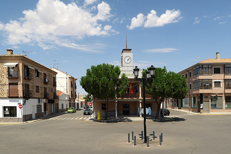
Photo: Malopez 21, CC BY-SA 4.0.
Magán is a municipality located in the province of Toledo, Castilla–La Mancha, Spain. As of 1 January 2023, the municipality has a registered population of 4,038. It has a total area of 29.24 km2. Magán is situated 4 km south of Valdelaharina.
Yuncler
Village

Photo: Malopez 21, CC BY-SA 4.0.
Yuncler is a town and municipality in the Sagra shire, province of Toledo, Spain, 42 km to the south from the national capital, Madrid. It borders Villaluenga de la Sagra to the south, Yuncos and Cedillo to the north, Numancia to the northeast, Pantoja to the east and Cedillo to the west. Yuncler is situated 5 km north of Valdelaharina.
Valdelaharina
- Type: Locality
- Location: Cabañas de la Sagra, Toledo, Castile-La Mancha, Central Spain, Spain, Iberia, Europe
- View on OpenStreetMap
Latitude
39.99816° or 39° 59′ 53″ northLongitude
-3.92071° or 3° 55′ 15″ westOpen location code
8CFRX3XH+7POpenStreetMap ID
node 1243243139OpenStreetMap feature
place=locality
This page is based on OpenStreetMap, Wikidata, and Wikimedia Commons.
We’d love your help improving our open data sources. Thank you for contributing.
Satellite Map
Discover Valdelaharina from above in high-definition satellite imagery.
Places with the Same Name
Discover other places named “Valdelaharina”.
Localities in the Area
Explore places such as Valdemaría and Felipón.
Notable Places Nearby
Highlights include Magan and Villaluenga-Asland.
Castile-La Mancha: Must-Visit Destinations
Delve into Toledo, Albacete, Cuenca, and Ciudad Real.
Curious Localities to Discover
Uncover intriguing localities from every corner of the globe.
About Mapcarta. Data © OpenStreetMap contributors and available under the Open Database License". Text is available under the CC BY-SA 4.0 license, except for photos, directions, and the map. Photo: Diliff, CC BY-SA 3.0.