Vega de las Tajadas
Vega de las Tajadas is a locality in Cuenca, Castile-La Mancha. Vega de las Tajadas is situated nearby to the locality Loma del Chaparral, as well as near Torca Pequeña.| Tap on a place to explore it |
Places in the Area
Nearby places include Pajaroncillo and Carboneras de Guadazaón.
Pajaroncillo
Village
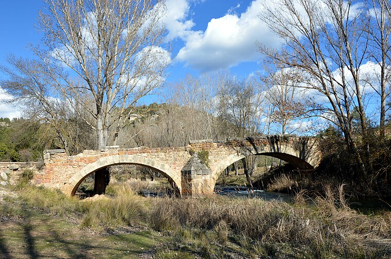
Photo: Hondonera, CC BY-SA 4.0.
Pajaroncillo is a municipality located in the province of Cuenca, Castile-La Mancha, Spain. It has a population of 68. Pajaroncillo is situated 5 km north of Vega de las Tajadas.
Carboneras de Guadazaón
Village

Photo: YATIKAS, Public domain.
Carboneras de Guadazaón is a municipality in Cuenca, Castile-La Mancha, Spain. It has a population of 958. Carboneras de Guadazaón is situated 7 km west of Vega de las Tajadas.
Pajarón
Village

Photo: Hondonera, CC BY-SA 4.0.
Pajarón is a municipality located in the province of Cuenca, Castile-La Mancha, Spain. It has a population of 90. Pajarón is situated 8 km northwest of Vega de las Tajadas.
Vega de las Tajadas
- Type: Locality
- Location: Cuenca, Cuenca, Castile-La Mancha, Central Spain, Spain, Iberia, Europe
- View on OpenStreetMap
Latitude
39.90169° or 39° 54′ 6″ northLongitude
-1.7256° or 1° 43′ 32″ westOpen location code
8CFWW72F+MQOpenStreetMap ID
node 1243256076OpenStreetMap feature
place=locality
This page is based on OpenStreetMap, Wikidata, and Wikimedia Commons.
We’d love your help improving our open data sources. Thank you for contributing.
Satellite Map
Discover Vega de las Tajadas from above in high-definition satellite imagery.
Localities in the Area
Explore places such as Loma del Chaparral and Torca Pequeña.
Notable Places Nearby
Highlights include Torre Barrachina and Deposito municipal.
Castile-La Mancha: Must-Visit Destinations
Delve into Toledo, Albacete, Ciudad Real, and Consuegra.
Curious Localities to Discover
Uncover intriguing localities from every corner of the globe.
About Mapcarta. Data © OpenStreetMap contributors and available under the Open Database License". Text is available under the CC BY-SA 4.0 license, except for photos, directions, and the map. Photo: flashcurd, CC BY 2.0.