Cubo de Oreganera
Cubo de Oreganera is a locality in Alarcón, Cuenca, Castile-La Mancha. Cubo de Oreganera is situated nearby to the locality Hoya Rijores, as well as near Dehesa del Monte.| Tap on a place to explore it |
Places of Interest
Highlights include Church of Santo Domingo and Santa Maria´s Parish.
Church of Santo Domingo
Arts center

Photo: Jamebla, CC BY-SA 4.0.
Church of Santo Domingo is an arts center, which is situated 3 km west of Cubo de Oreganera.
Santa Maria´s Parish
Church

Photo: Jamebla, CC BY-SA 4.0.
Santa Maria´s Parish is a church, which is situated 3 km west of Cubo de Oreganera.
Castle of Alarcón
Hotel

Photo: emeritense, CC BY-SA 2.0.
The Castle of Alarcón forms part of the fortifications built around the town of Alarcón in Cuenca, Spain. The fortress is composed of a walled enclosure, which houses the heart of the population and the castle proper, and of five exterior towers, separate and strategically placed. Castle of Alarcón is situated 3 km west of Cubo de Oreganera.
Places in the Area
Nearby places include Valhermoso de la Fuente and Valverdejo.
Valhermoso de la Fuente
Village

Photo: Malopez 21, CC BY-SA 4.0.
Valhermoso de la Fuente is a municipality located in the province of Cuenca, Castile-La Mancha, Spain. According to the 2004 census, the municipality has a population of 46 inhabitants. Valhermoso de la Fuente is situated 3 km east of Cubo de Oreganera.
Valverdejo
Village

Photo: 19Tarrestnom65, CC BY-SA 4.0.
Valverdejo is a municipality located in the province of Cuenca, Castile-La Mancha, Spain. According to the 2004 census, the municipality has a population of 129. Valverdejo is situated 8 km north of Cubo de Oreganera.
Olmedilla de Alarcón
Village
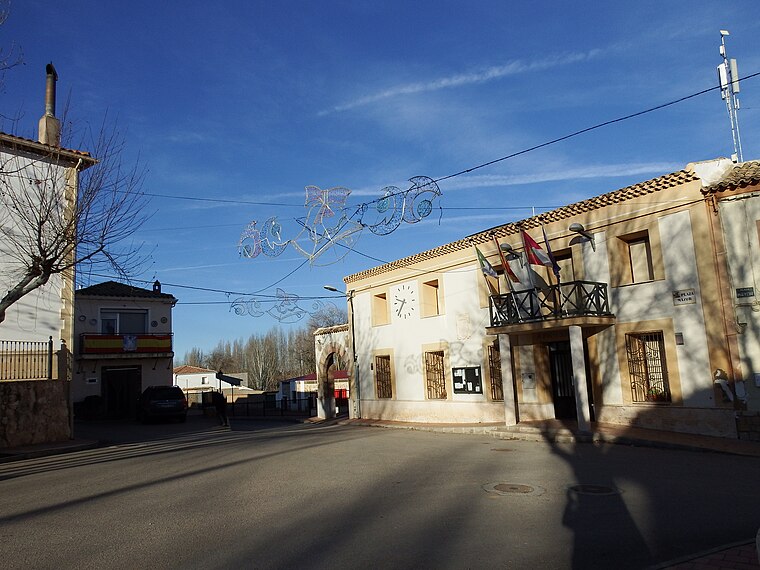
Photo: 19Tarrestnom65, CC BY-SA 4.0.
Olmedilla de Alarcón is a municipality in Cuenca, Castile-La Mancha, Spain. It has a population of 166. Olmedilla de Alarcón is situated 9 km northwest of Cubo de Oreganera.
Cubo de Oreganera
- Type: Locality
- Location: Alarcón, Cuenca, Castile-La Mancha, Central Spain, Spain, Iberia, Europe
- View on OpenStreetMap
Latitude
39.54805° or 39° 32′ 53″ northLongitude
-2.0488° or 2° 2′ 56″ westOpen location code
8CFVGXX2+6FOpenStreetMap ID
node 1243257865OpenStreetMap feature
place=locality
This page is based on OpenStreetMap, Wikidata, and Wikimedia Commons.
We’d love your help improving our open data sources. Thank you for contributing.
Satellite Map
Discover Cubo de Oreganera from above in high-definition satellite imagery.
Localities in the Area
Explore places such as Hoya Rijores and Dehesa del Monte.
Notable Places Nearby
Highlights include Puerta del Calabozo and Torre de los Alarconcillos.
Castile-La Mancha: Must-Visit Destinations
Delve into Toledo, Albacete, Cuenca, and Ciudad Real.
Curious Localities to Discover
Uncover intriguing localities from every corner of the globe.
About Mapcarta. Data © OpenStreetMap contributors and available under the Open Database License". Text is available under the CC BY-SA 4.0 license, except for photos, directions, and the map. Photo: flashcurd, CC BY 2.0.