Corral de las Tías
Corral de las Tías is a locality in Villar de Cañas, Cuenca, Castile-La Mancha. Corral de las Tías is situated nearby to the locality Corral de la Venta, as well as near El Pedernal.| Tap on a place to explore it |
Places in the Area
Nearby places include Montalbo and El Hito.
Montalbo
Village

Photo: Malopez 21, CC BY-SA 4.0.
Montalbo is a municipality in the province of Cuenca, part of the autonomous community of Castile-La Mancha, in the country of Spain. Montalbo is situated 5 km north of Corral de las Tías.
El Hito
Village

Photo: Malopez 21, CC BY-SA 4.0.
El Hito is a municipality in Cuenca, Castile-La Mancha, Spain. It has a population of 223 residents according to the 2007 census. El Hito is situated 6 km west of Corral de las Tías.
Villarejo de Fuentes
Village
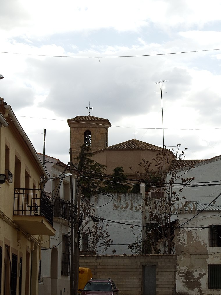
Photo: B25es, CC BY-SA 4.0.
Villarejo de Fuentes is a municipality located in the province of Cuenca, Castilla–La Mancha, Spain. According to the 2015 census, the municipality has a population of 519 inhabitants. Villarejo de Fuentes is situated 7 km southwest of Corral de las Tías.
Corral de las Tías
- Type: Locality
- Location: Villar de Cañas, Cuenca, Castile-La Mancha, Central Spain, Spain, Iberia, Europe
- View on OpenStreetMap
Latitude
39.83822° or 39° 50′ 18″ northLongitude
-2.64934° or 2° 38′ 58″ westOpen location code
8CFVR9Q2+77OpenStreetMap ID
node 1243262550OpenStreetMap feature
place=locality
This page is based on OpenStreetMap, Wikidata, and Wikimedia Commons.
We’d love your help improving our open data sources. Thank you for contributing.
Satellite Map
Discover Corral de las Tías from above in high-definition satellite imagery.
Localities in the Area
Explore places such as Corral de la Venta and El Pedernal.
Notable Places Nearby
Highlights include Ermita de San Isidro and Fuente de los Huertos.
Castile-La Mancha: Must-Visit Destinations
Delve into Toledo, Albacete, Cuenca, and Ciudad Real.
Curious Localities to Discover
Uncover intriguing localities from every corner of the globe.
About Mapcarta. Data © OpenStreetMap contributors and available under the Open Database License". Text is available under the CC BY-SA 4.0 license, except for photos, directions, and the map. Photo: flashcurd, CC BY 2.0.