Cerro Valdespino
Cerro Valdespino is a locality in Moraleja de Enmedio, Madrid, Community of Madrid. Cerro Valdespino is situated nearby to the locality Valdehigueras, as well as near Cerro Capitán.| Tap on a place to explore it |
Places of Interest
Highlights include Manuela Malasaña and Hospital Universitario de Móstoles.
Manuela Malasaña
Metro station

Photo: Zarateman, CC BY-SA 4.0.
Manuela Malasaña is a station on Line 12 of the Madrid Metro, named for the nearby school IES Manuela Malasaña, which is named for the Spanish heroine Manuela Malasaña. It is located in fare Zone B2. Manuela Malasaña is situated 3 km north of Cerro Valdespino.
Hospital Universitario de Móstoles
Hospital

Photo: Daniel Lobo, CC0.
Hospital Universitario de Móstoles is situated 3½ km north of Cerro Valdespino.
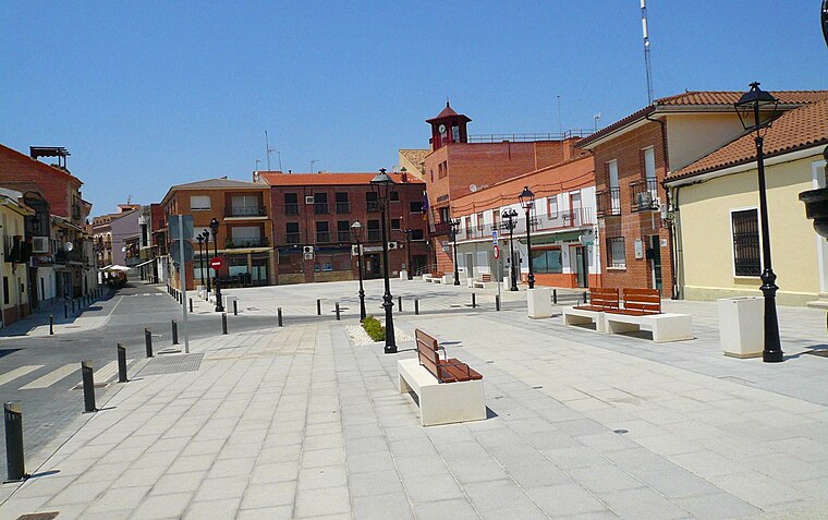
Plaza del Sol, Móstoles
Square

Photo: Zarateman, CC BY-SA 4.0.
Plaza del Sol, Móstoles is a square, which is situated 3 km north of Cerro Valdespino.
Places in the Area
Nearby places include Arroyomolinos and Móstoles.
Arroyomolinos
Town
 Arroyomolinos is a municipality of the autonomous community of Madrid in central Spain. As of 2022, it had a population of 34,833. Arroyomolinos is situated 3½ km west of Cerro Valdespino.
Móstoles

Photo: Wikimedia, CC BY-SA 3.0.
Móstoles is a city in the Community of Madrid and it is the second largest in the region. Móstoles hosts the CA2M the museum with the contemporary art collection of the Community of Madrid.
Humanes de Madrid
Town
 Humanes de Madrid is a town and municipality of Spain, part of the Community of Madrid. As of 2019, it has a population of 19,743 inhabitants. Humanes de Madrid is situated 6 km southeast of Cerro Valdespino.
Cerro Valdespino
- Type: Locality
- Location: Moraleja de Enmedio, Madrid, Community of Madrid, Central Spain, Spain, Iberia, Europe
- View on OpenStreetMap
Latitude
40.28295° or 40° 16′ 59″ northLongitude
-3.87893° or 3° 52′ 44″ westOpen location code
8CGR74MC+5COpenStreetMap ID
node 1243353141OpenStreetMap feature
place=locality
This page is based on OpenStreetMap, Wikidata, and Wikimedia Commons.
We’d love your help improving our open data sources. Thank you for contributing.
Satellite Map
Discover Cerro Valdespino from above in high-definition satellite imagery.
Localities in the Area
Explore places such as Valdehigueras and Cerro Capitán.
Notable Places Nearby
Highlights include Cementerio nuevo de Móstoles and Polideportivo Municipal La Dehesa.
Community of Madrid: Must-Visit Destinations
Delve into Madrid, Alcalá de Henares, Getafe, and Aranjuez.
Curious Localities to Discover
Uncover intriguing localities from every corner of the globe.
About Mapcarta. Data © OpenStreetMap contributors and available under the Open Database License". Text is available under the CC BY-SA 4.0 license, except for photos, directions, and the map. Photo: Wikimedia, CC0.