Olivar de los Daños
Olivar de los Daños is a locality in Parla, Madrid, Community of Madrid. Olivar de los Daños is situated nearby to the locality Las Zanjillas, as well as near El Baldío.| Tap on a place to explore it |
Places of Interest
Highlights include Castillo de Torrejón de Velasco and Hospital Infanta Elena.
Castillo de Torrejón de Velasco
Castle
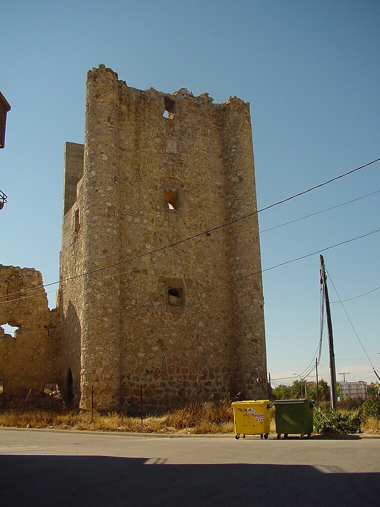
Photo: Wikimedia, CC BY 3.0 es.
Castillo de Torrejón de Velasco is a castle, which is situated 3 km west of Olivar de los Daños.
Hospital Infanta Elena
Hospital

Photo: Rodelar, CC BY-SA 4.0.
Hospital Infanta Elena is situated 4 km east of Olivar de los Daños.
Church of San Esteban
Church

Photo: AlvaroTDV, CC BY-SA 4.0.
Church of San Esteban is situated 3 km west of Olivar de los Daños.
Places in the Area
Nearby places include Torrejón de Velasco and Torrejón de la Calzada.
Torrejón de Velasco
Village

Photo: Wikimedia, CC BY 3.0 es.
Torrejón de Velasco is a municipality of the Community of Madrid, Spain. In 2022 it had a population of 4,685. Torrejón de Velasco is situated 3 km southwest of Olivar de los Daños.
Torrejón de la Calzada
Village

Photo: Wikimedia, CC BY 3.0 es.
Torrejón de la Calzada is a municipality of the Community of Madrid, Spain. In 2022 it had a population of 9,947. Torrejón de la Calzada is situated 4½ km west of Olivar de los Daños.
Pinto
Town

Photo: Onanymous, CC BY-SA 4.0.
Pinto is a municipality in the Community of Madrid, Spain. It is located in the central area of the Iberian Peninsula at an altitude of 604 meters, 20 kilometers south of Madrid, and covers 62.7 square kilometers. Pinto is situated 6 km northeast of Olivar de los Daños.
Olivar de los Daños
- Type: Locality
- Location: Parla, Madrid, Community of Madrid, Central Spain, Spain, Iberia, Europe
- View on OpenStreetMap
Latitude
40.19783° or 40° 11′ 52″ northLongitude
-3.74391° or 3° 44′ 38″ westOpen location code
8CGR57X4+4COpenStreetMap ID
node 1243377241OpenStreetMap feature
place=locality
This page is based on OpenStreetMap, Wikidata, and Wikimedia Commons.
We’d love your help improving our open data sources. Thank you for contributing.
Satellite Map
Discover Olivar de los Daños from above in high-definition satellite imagery.
Localities in the Area
Explore places such as Las Zanjillas and El Baldío.
Notable Places Nearby
Highlights include Parque de las Provincias and Complejo de ciclismo - Ciudad de Parla.
Community of Madrid: Must-Visit Destinations
Delve into Madrid, Alcalá de Henares, Getafe, and Aranjuez.
Curious Localities to Discover
Uncover intriguing localities from every corner of the globe.
About Mapcarta. Data © OpenStreetMap contributors and available under the Open Database License". Text is available under the CC BY-SA 4.0 license, except for photos, directions, and the map. Photo: Wikimedia, CC0.