Laderas de Valdemazo
Laderas de Valdemazo is a locality in Robledo de Corpes, Guadalajara, Castile-La Mancha. Laderas de Valdemazo is situated nearby to the locality Cañada del Vallejo de los Prados, as well as near El Hocinillo.| Tap on a place to explore it |
Places of Interest
Highlights include Pálmaces Reservoir.
Pálmaces Reservoir
Reservoir

Photo: José Ibáñez, CC BY 3.0.
Pálmaces Reservoir is situated 4 km south of Laderas de Valdemazo.
Places in the Area
Nearby places include La Bodera and Angón.
La Bodera
Village
 La Bodera is a municipality located in the province of Guadalajara, Castile-La Mancha, Spain. According to the 2004 census, the municipality has a population of 45 inhabitants. La Bodera is situated 5 km northeast of Laderas de Valdemazo.
Angón
Village

Photo: Erevilla14, CC BY-SA 4.0.
Angón is a municipality located in the province of Guadalajara, Castile-La Mancha, Spain. According to the 2023 census, the municipality has a population of 7 inhabitants. Angón is situated 6 km southeast of Laderas de Valdemazo.
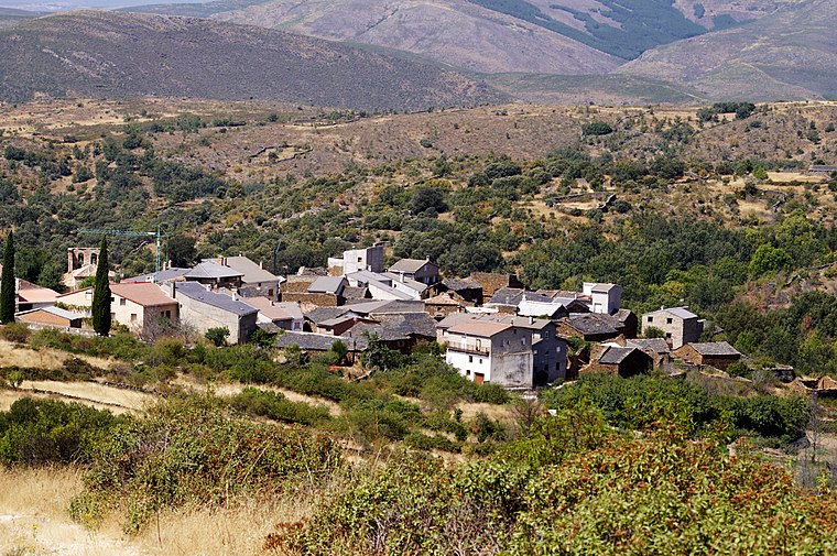
Rebollosa de Jadraque
Village

Photo: Wikimedia, CC BY-SA 4.0.
Rebollosa de Jadraque is a municipality located in the province of Guadalajara, Castile-La Mancha, Spain. According to the 2004 census, the municipality has a population of 32 inhabitants. Rebollosa de Jadraque is situated 6 km east of Laderas de Valdemazo.
Laderas de Valdemazo
- Type: Locality
- Location: Robledo de Corpes, Guadalajara, Castile-La Mancha, Central Spain, Spain, Iberia, Europe
- View on OpenStreetMap
Latitude
41.09818° or 41° 5′ 54″ northLongitude
-2.91647° or 2° 54′ 59″ westOpen location code
8CHV33XM+7COpenStreetMap ID
node 1243382389OpenStreetMap feature
place=locality
This page is based on OpenStreetMap, Wikidata, and Wikimedia Commons.
We’d love your help improving our open data sources. Thank you for contributing.
Satellite Map
Discover Laderas de Valdemazo from above in high-definition satellite imagery.
Localities in the Area
Explore places such as Cañada del Vallejo de los Prados and El Hocinillo.
Notable Places Nearby
Highlights include El Mojoncillo and Alto de la Tajarilla.
Castile-La Mancha: Must-Visit Destinations
Delve into Toledo, Albacete, Cuenca, and Ciudad Real.
Curious Localities to Discover
Uncover intriguing localities from every corner of the globe.
About Mapcarta. Data © OpenStreetMap contributors and available under the Open Database License". Text is available under the CC BY-SA 4.0 license, except for photos, directions, and the map. Photo: Poco a poco, CC BY-SA 4.0.