Peña los Zorros
Peña los Zorros is a locality in Soliedra, Soria, Castile and León. Peña los Zorros is situated nearby to the locality Corral de Paja, as well as near La Loma.| Tap on a place to explore it |
Places in the Area
Nearby places include Soliedra and Escobosa de Almazán.
Soliedra
Village
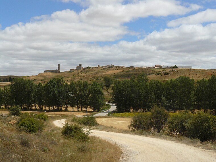
Photo: Rowanwindwhistler, CC BY-SA 3.0.
Soliedra is a municipality located in the province of Soria, Castile and León, Spain. According to the 2004 census, the municipality has a population of 37 inhabitants.
Escobosa de Almazán
Village

Photo: Wikimedia, CC BY-SA 4.0.
Escobosa de Almazán is a municipality located in the province of Soria, Castile and León, Spain. Escobosa de Almazán is situated 2½ km east of Peña los Zorros.
Neguillas
Hamlet

Photo: Rowanwindwhistler, CC BY-SA 3.0.
Neguillas is a hamlet, which is situated 3 km southwest of Peña los Zorros.
Peña los Zorros
- Type: Locality
- Location: Soliedra, Soria, Castile and León, Central Spain, Spain, Iberia, Europe
- View on OpenStreetMap
Latitude
41.47935° or 41° 28′ 46″ northLongitude
-2.39901° or 2° 23′ 56″ westOpen location code
8CHVFJH2+P9OpenStreetMap ID
node 1243755935OpenStreetMap feature
place=locality
This page is based on OpenStreetMap, Wikidata, and Wikimedia Commons.
We’d love your help improving our open data sources. Thank you for contributing.
Satellite Map
Discover Peña los Zorros from above in high-definition satellite imagery.
Places with the Same Name
Discover other places named “Peña los Zorros”.
Localities in the Area
Explore places such as Corral de Paja and La Loma.
Notable Places Nearby
Highlights include Castillo de Soliedra and Iglesia Nª Sª Asunción.
Castile and León: Must-Visit Destinations
Delve into Valladolid, Salamanca, Segovia, and León.
Curious Localities to Discover
Uncover intriguing localities from every corner of the globe.
About Mapcarta. Data © OpenStreetMap contributors and available under the Open Database License". Text is available under the CC BY-SA 4.0 license, except for photos, directions, and the map. Photo: Wikimedia, CC BY-SA 3.0.