fundacion Miss Belinda
fundacion Miss Belinda is a community center in Córdoba, Colombia.| Tap on a place to explore it |
Places in the Area
Nearby places include San Andrés de Sotavento and Sampués.
San Andrés de Sotavento
Town
San Andrés de Sotavento is a town and municipality located in the Córdoba Department, northern Colombia. According to 2020 estimates, the population of San Andrés de Sotavento was 48,404. San Andrés de Sotavento is situated 7 km southwest of fundacion Miss Belinda.
Sampués
Town
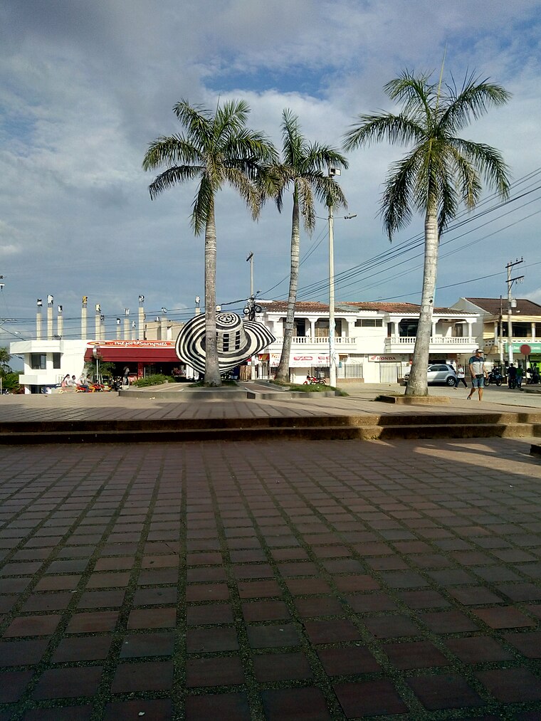
Photo: Sampués, CC BY-SA 4.0.
Sampués is a town and municipality located in the Sucre Department, northern Colombia. Sampués is situated 8 km east of fundacion Miss Belinda.
Chinú
Town

Photo: Jucearta, CC BY-SA 4.0.
Chinú is a town and municipality located in the Córdoba Department, northern Colombia. According to 2020 estimates, the population of Chinú was 50,743, with a population density of 81 persons per square kilometer. Chinú is situated 9 km southeast of fundacion Miss Belinda.
fundacion Miss Belinda
- Type: Community center
- Location: Córdoba, Colombia, South America
- View on OpenStreetMap
Latitude
9.17107° or 9° 10′ 16″ northLongitude
-75.44724° or 75° 26′ 50″ westOpen location code
67X65HC3+C4OpenStreetMap ID
node 12440443257OpenStreetMap feature
amenity=community_centre
This page is based on OpenStreetMap, Wikidata, and Wikimedia Commons.
We’d love your help improving our open data sources. Thank you for contributing.
Satellite Map
Discover fundacion Miss Belinda from above in high-definition satellite imagery.
Notable Places Nearby
Highlights include Parque Fotovoltaico La Tolua SAS and Parque el Oasis.
Nearby Places
Explore places such as CENTRO EDUCATIVO MEJOR ESQUINA and INSTITUCION EDUCATIVA INDG TEC AGROP ESCOBAR ARRIBA.
Colombia: Must-Visit Destinations
Delve into Bogotá, Medellín, Cali, and Cartagena.
Curious Community Centers to Discover
Uncover intriguing community centers from every corner of the globe.
About Mapcarta. Data © OpenStreetMap contributors and available under the Open Database License". Text is available under the CC BY-SA 4.0 license, except for photos, directions, and the map. Photo: Wikimedia, CC0.