Vallejo Muñiz
Vallejo Muñiz is a locality in Alarcón, Cuenca, Castile-La Mancha. Vallejo Muñiz is situated nearby to the locality El Tortolón, as well as near Camino de las Galeras.| Tap on a place to explore it |
Places in the Area
Nearby places include Olmedilla de Alarcón and Valverdejo.
Olmedilla de Alarcón
Village
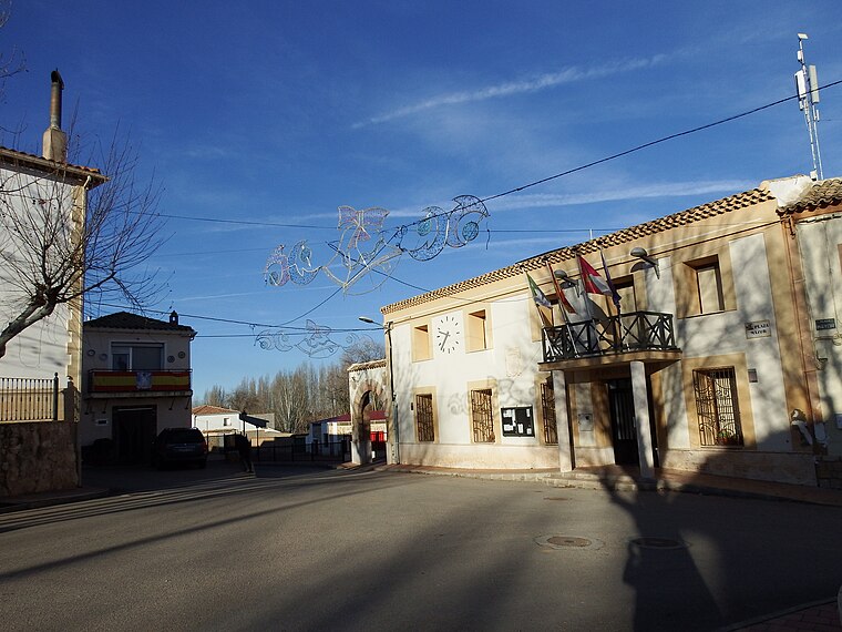
Photo: 19Tarrestnom65, CC BY-SA 4.0.
Olmedilla de Alarcón is a municipality in Cuenca, Castile-La Mancha, Spain. It has a population of 166. Olmedilla de Alarcón is situated 4 km northwest of Vallejo Muñiz.
Valverdejo
Village

Photo: 19Tarrestnom65, CC BY-SA 4.0.
Valverdejo is a municipality located in the province of Cuenca, Castile-La Mancha, Spain. According to the 2004 census, the municipality has a population of 129. Valverdejo is situated 4 km northeast of Vallejo Muñiz.
Valhermoso de la Fuente
Village

Photo: Malopez 21, CC BY-SA 4.0.
Valhermoso de la Fuente is a municipality located in the province of Cuenca, Castile-La Mancha, Spain. According to the 2004 census, the municipality has a population of 46 inhabitants. Valhermoso de la Fuente is situated 6 km southeast of Vallejo Muñiz.
Vallejo Muñiz
- Type: Locality
- Location: Alarcón, Cuenca, Castile-La Mancha, Central Spain, Spain, Iberia, Europe
- View on OpenStreetMap
Latitude
39.59401° or 39° 35′ 38″ northLongitude
-2.06312° or 2° 3′ 47″ westOpen location code
8CFVHWVP+JQOpenStreetMap ID
node 1244121501OpenStreetMap feature
place=locality
This page is based on OpenStreetMap, Wikidata, and Wikimedia Commons.
We’d love your help improving our open data sources. Thank you for contributing.
Satellite Map
Discover Vallejo Muñiz from above in high-definition satellite imagery.
Localities in the Area
Explore places such as El Tortolón and Camino de las Galeras.
Notable Places Nearby
Highlights include PFV SABINAR II and Planta Solar FV Romeral.
Castile-La Mancha: Must-Visit Destinations
Delve into Toledo, Albacete, Cuenca, and Ciudad Real.
Curious Localities to Discover
Uncover intriguing localities from every corner of the globe.
About Mapcarta. Data © OpenStreetMap contributors and available under the Open Database License". Text is available under the CC BY-SA 4.0 license, except for photos, directions, and the map. Photo: flashcurd, CC BY 2.0.