Árbol de Viztote
Árbol de Viztote is a locality in Villarejo de Fuentes, Cuenca, Castile-La Mancha. Árbol de Viztote is situated nearby to the locality Los Villares, as well as near Las Huertas.| Tap on a place to explore it |
Places in the Area
Nearby places include Villar de Cañas and Alconchel de la Estrella.
Villar de Cañas
Village
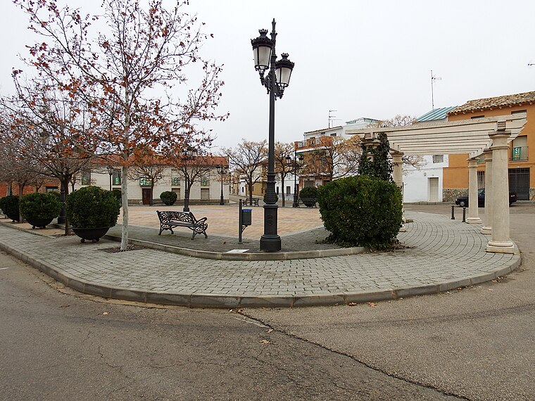
Photo: 19Tarrestnom65, CC BY-SA 4.0.
Villar de Cañas is a municipality located in the province of Cuenca, Castile-La Mancha, Spain. According to the 2004 census, the municipality had a population of 457 inhabitants. Villar de Cañas is situated 6 km east of Árbol de Viztote.
Alconchel de la Estrella
Village

Photo: Rodelar, CC BY-SA 4.0.
Alconchel de la Estrella is a municipality in Cuenca, Castile-La Mancha, Spain. Alconchel de la Estrella is situated 9 km southeast of Árbol de Viztote.
Árbol de Viztote
- Type: Locality
- Location: Villarejo de Fuentes, Cuenca, Castile-La Mancha, Central Spain, Spain, Iberia, Europe
- View on OpenStreetMap
Latitude
39.7939° or 39° 47′ 38″ northLongitude
-2.62401° or 2° 37′ 26″ westOpen location code
8CFVQ9VG+H9OpenStreetMap ID
node 1244127790OpenStreetMap feature
place=locality
This page is based on OpenStreetMap, Wikidata, and Wikimedia Commons.
We’d love your help improving our open data sources. Thank you for contributing.
Satellite Map
Discover Árbol de Viztote from above in high-definition satellite imagery.
Localities in the Area
Explore places such as Los Villares and Las Huertas.
Notable Places Nearby
Highlights include Cueva Talega and Ojuelo.
Castile-La Mancha: Must-Visit Destinations
Delve into Toledo, Albacete, Cuenca, and Ciudad Real.
Curious Localities to Discover
Uncover intriguing localities from every corner of the globe.
About Mapcarta. Data © OpenStreetMap contributors and available under the Open Database License". Text is available under the CC BY-SA 4.0 license, except for photos, directions, and the map. Photo: flashcurd, CC BY 2.0.